40 Acres of West Texas Beauty in Trent, TX
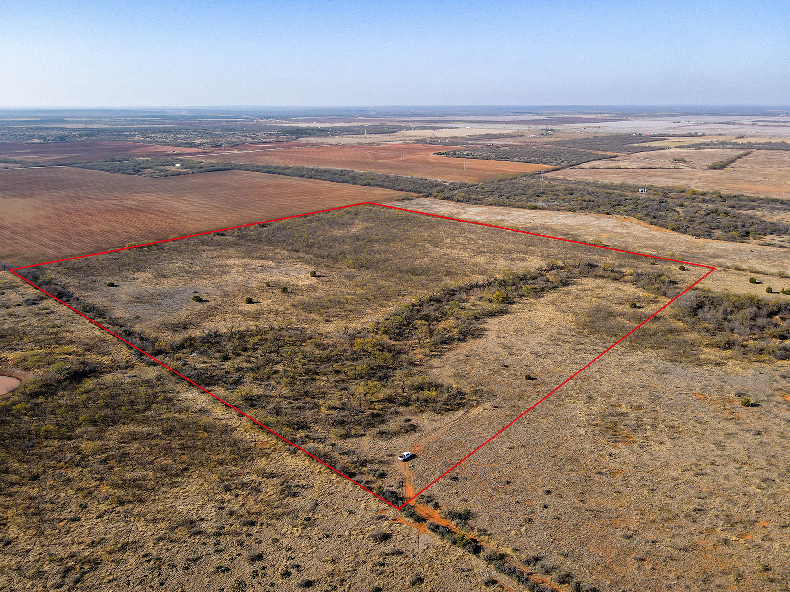
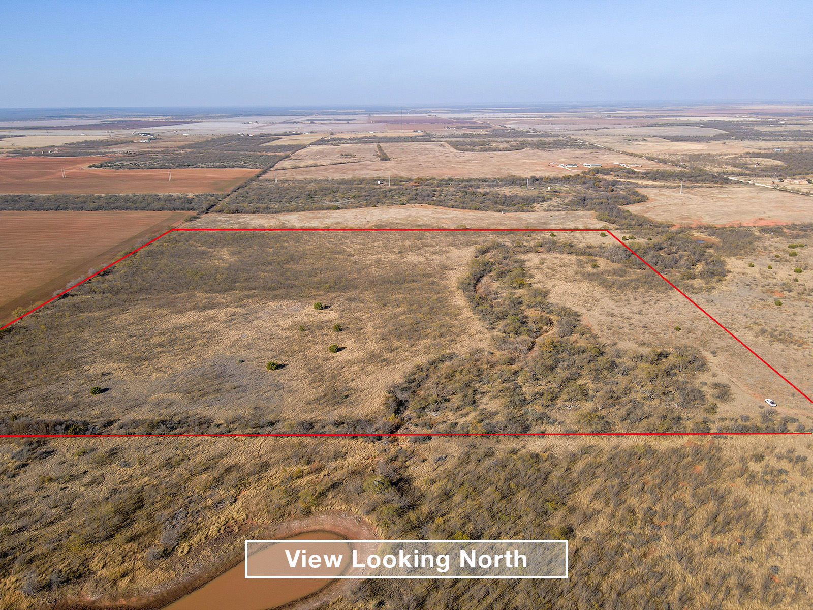
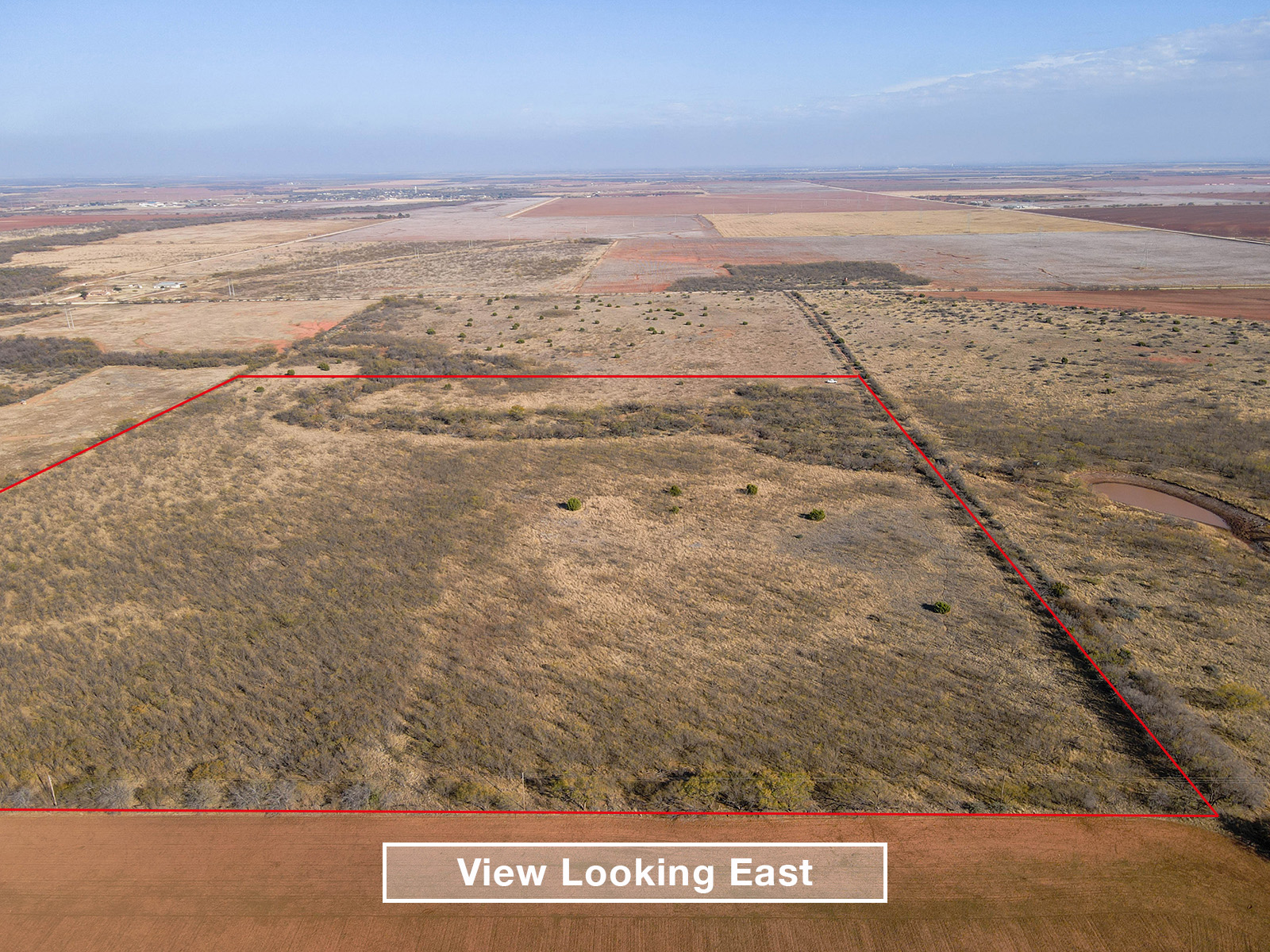
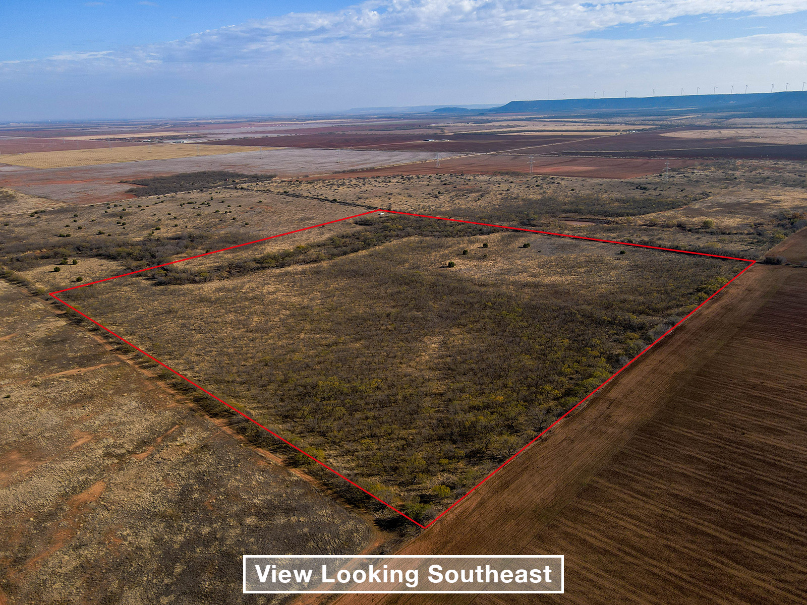
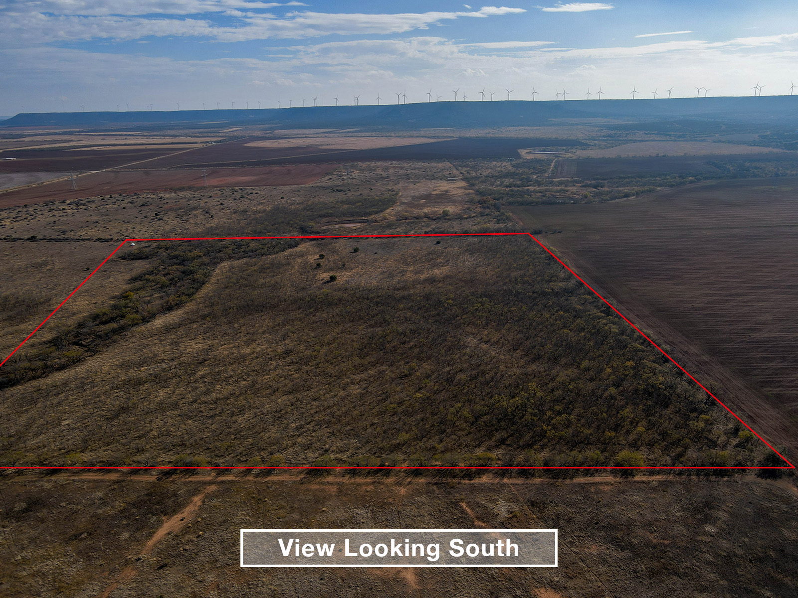
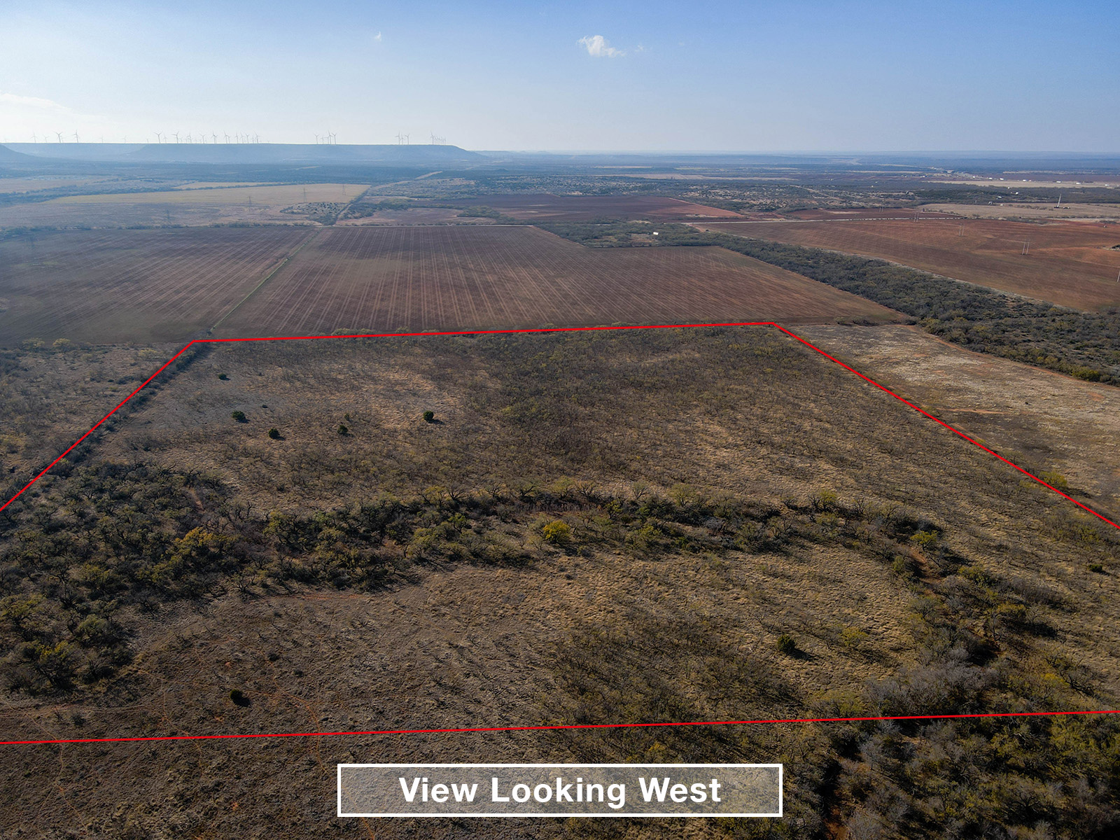
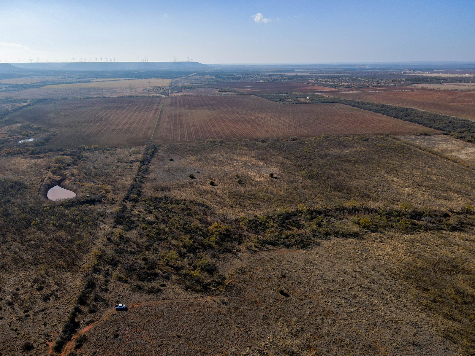
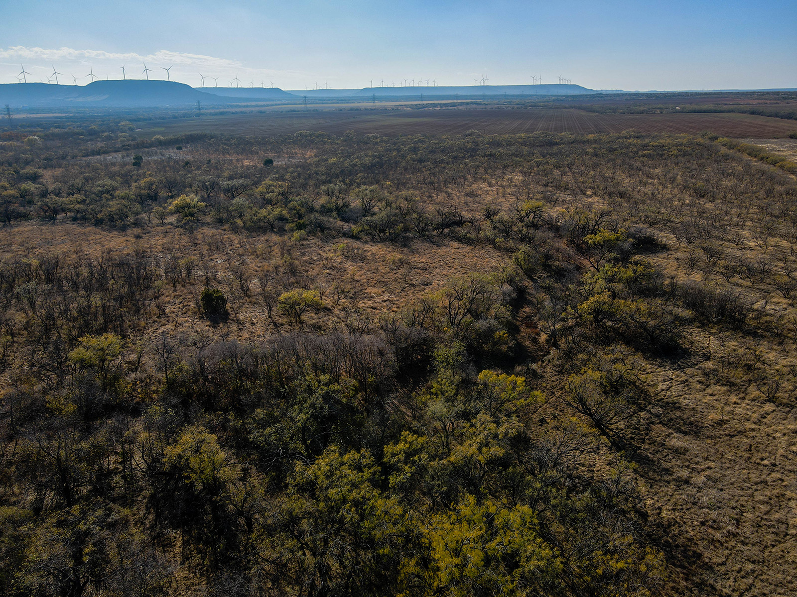
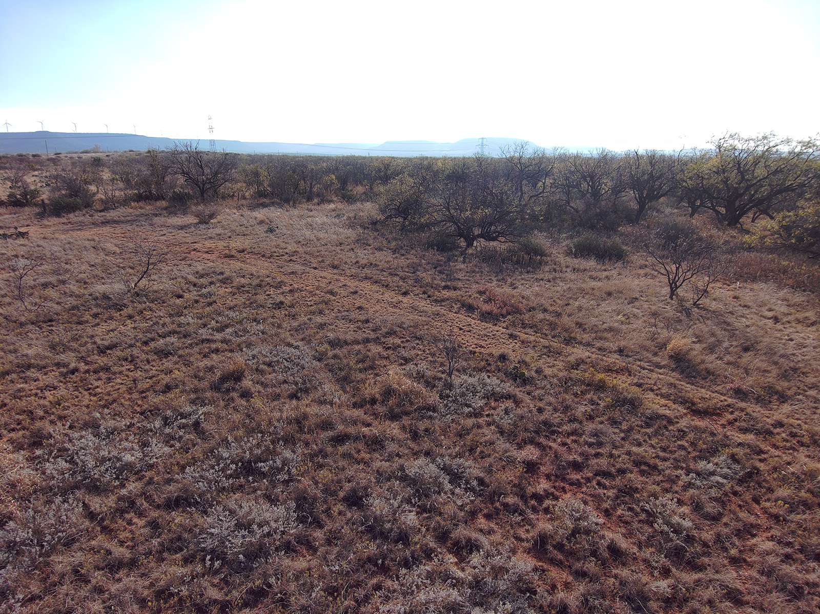
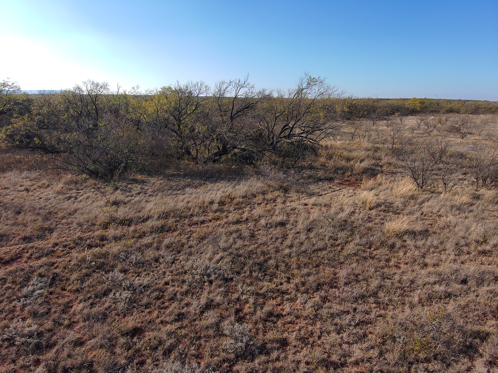
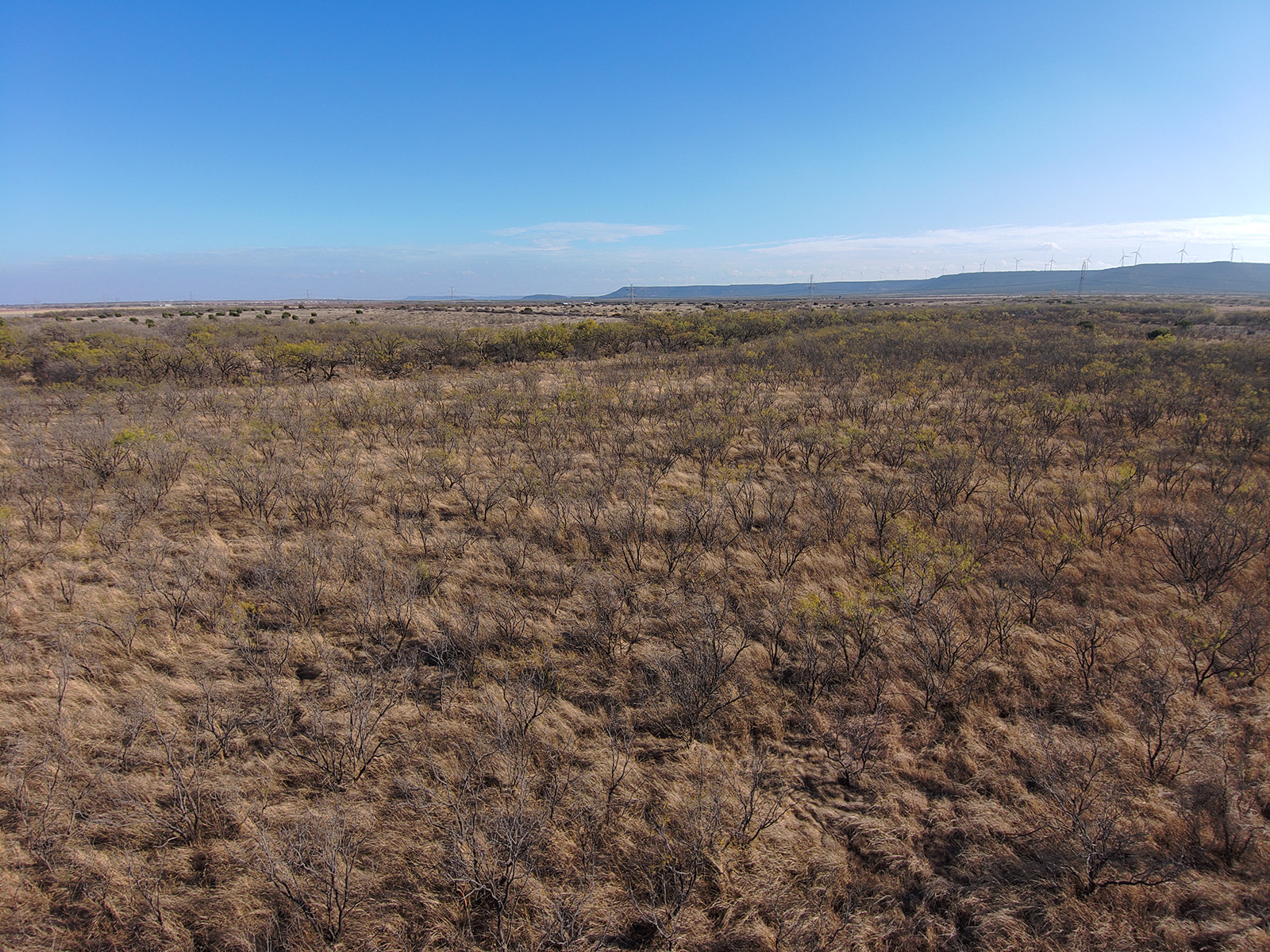
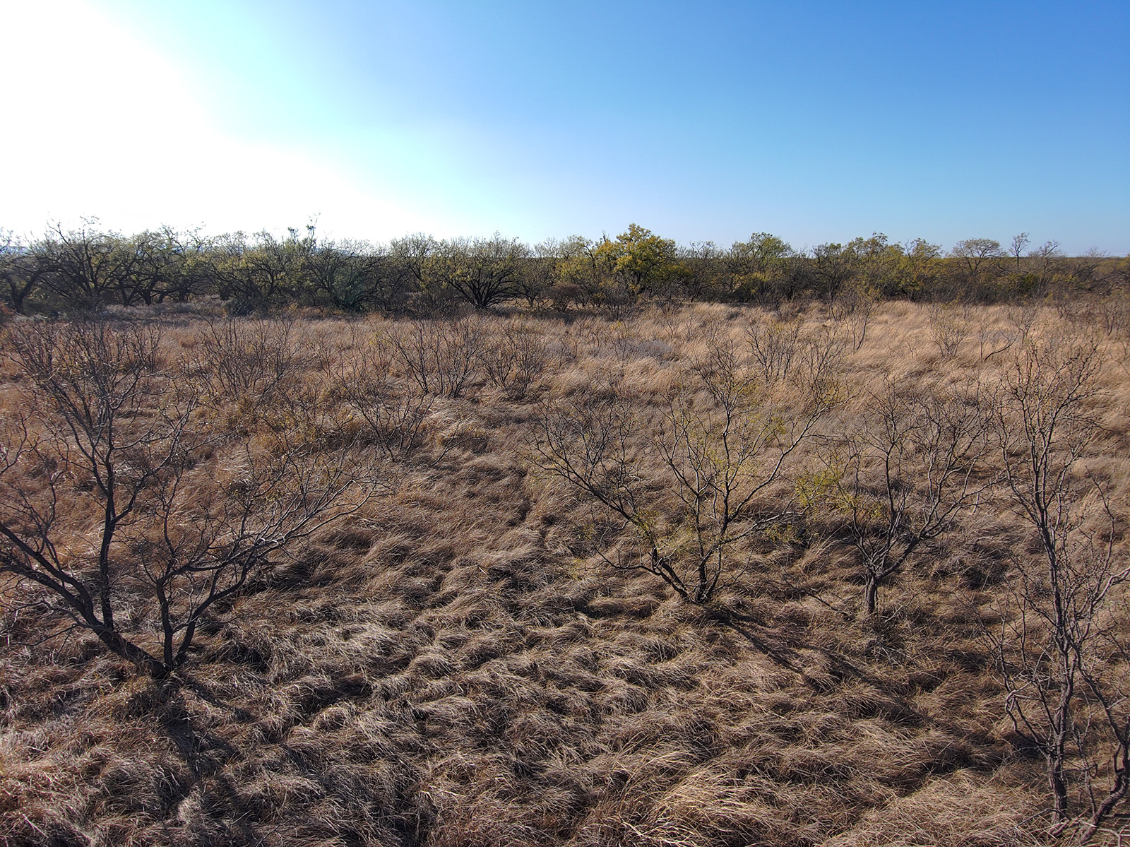
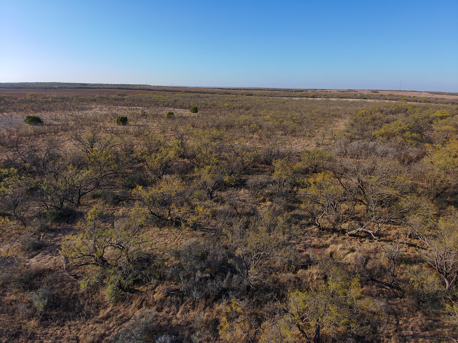
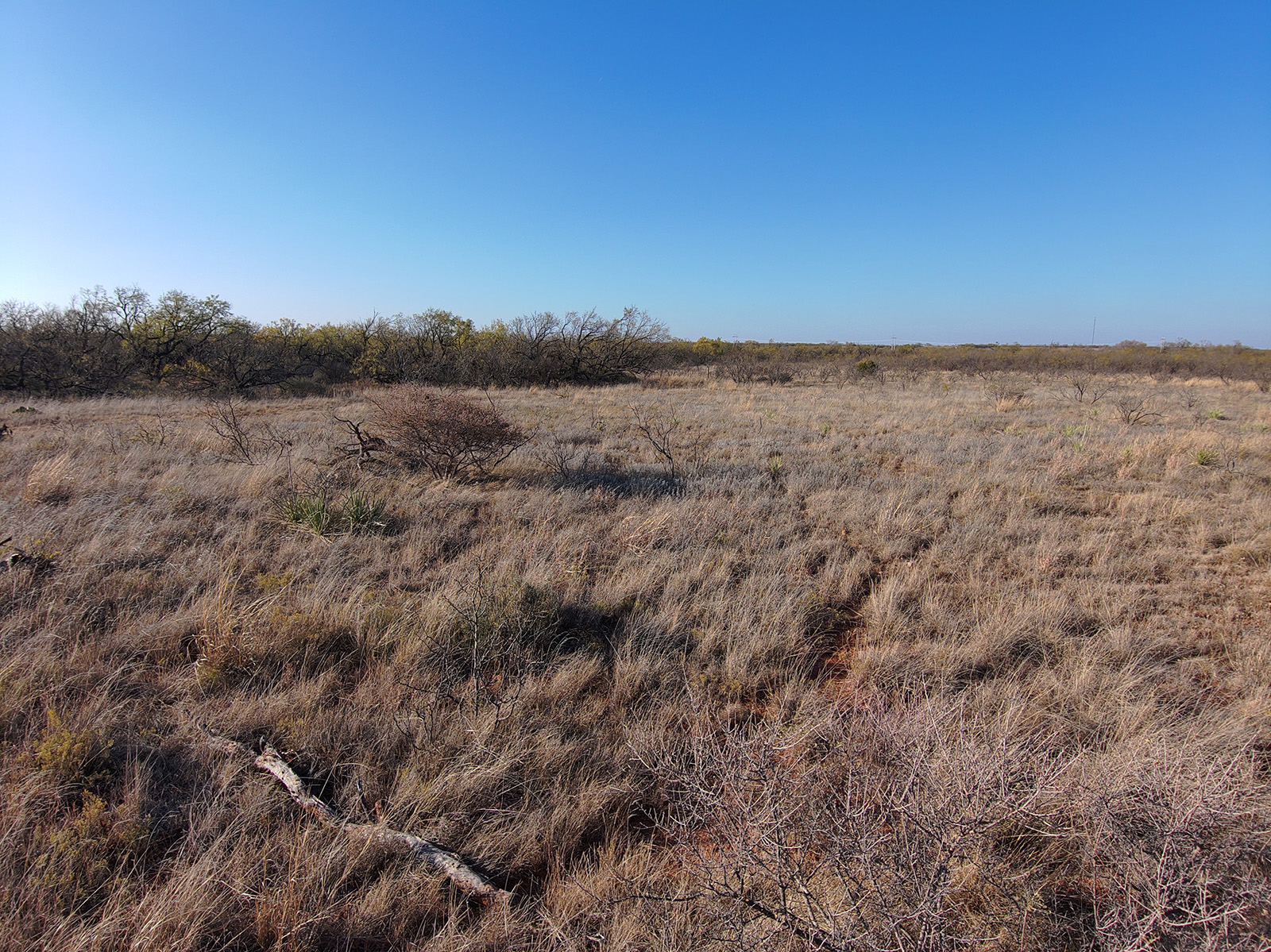
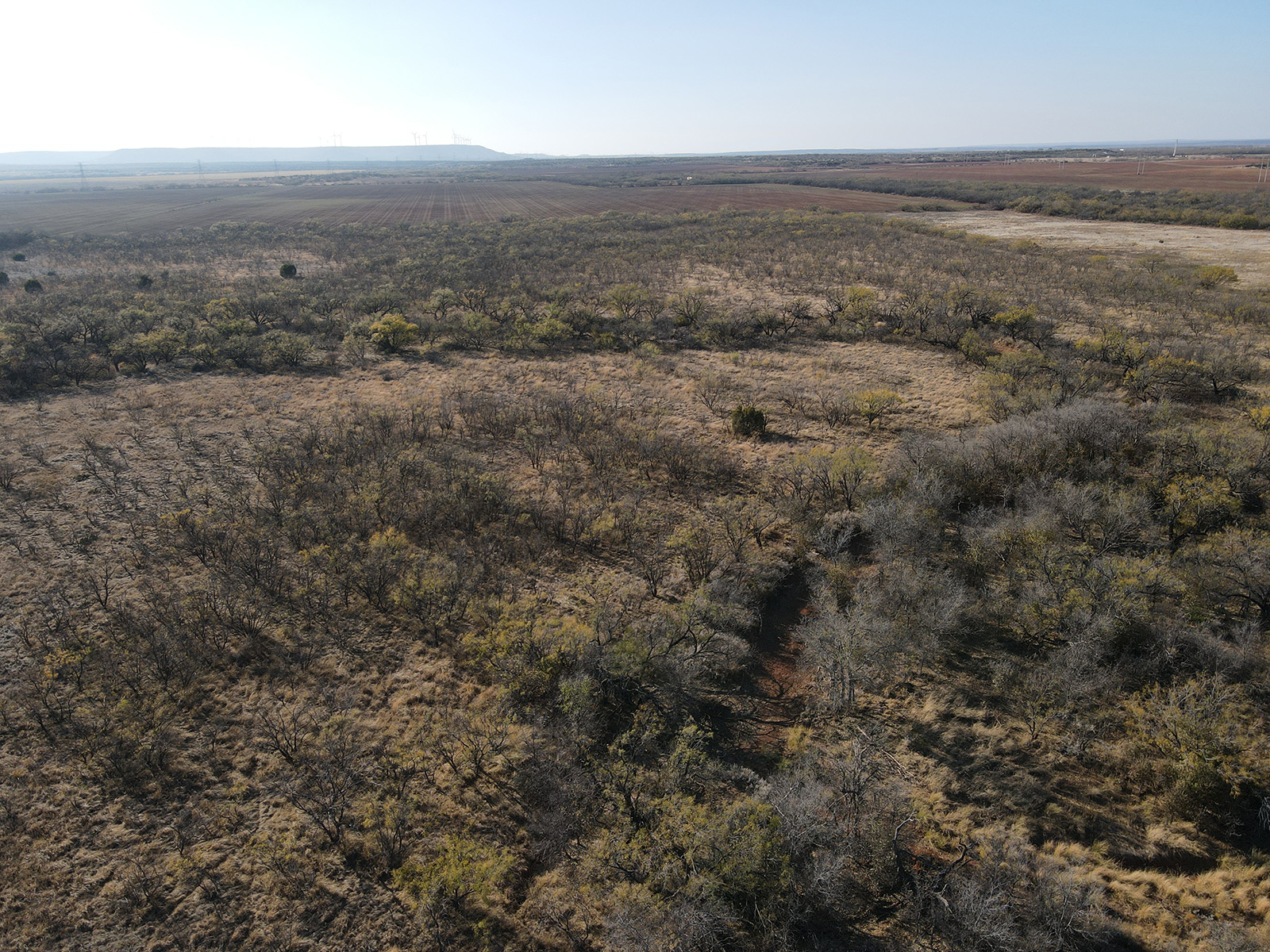
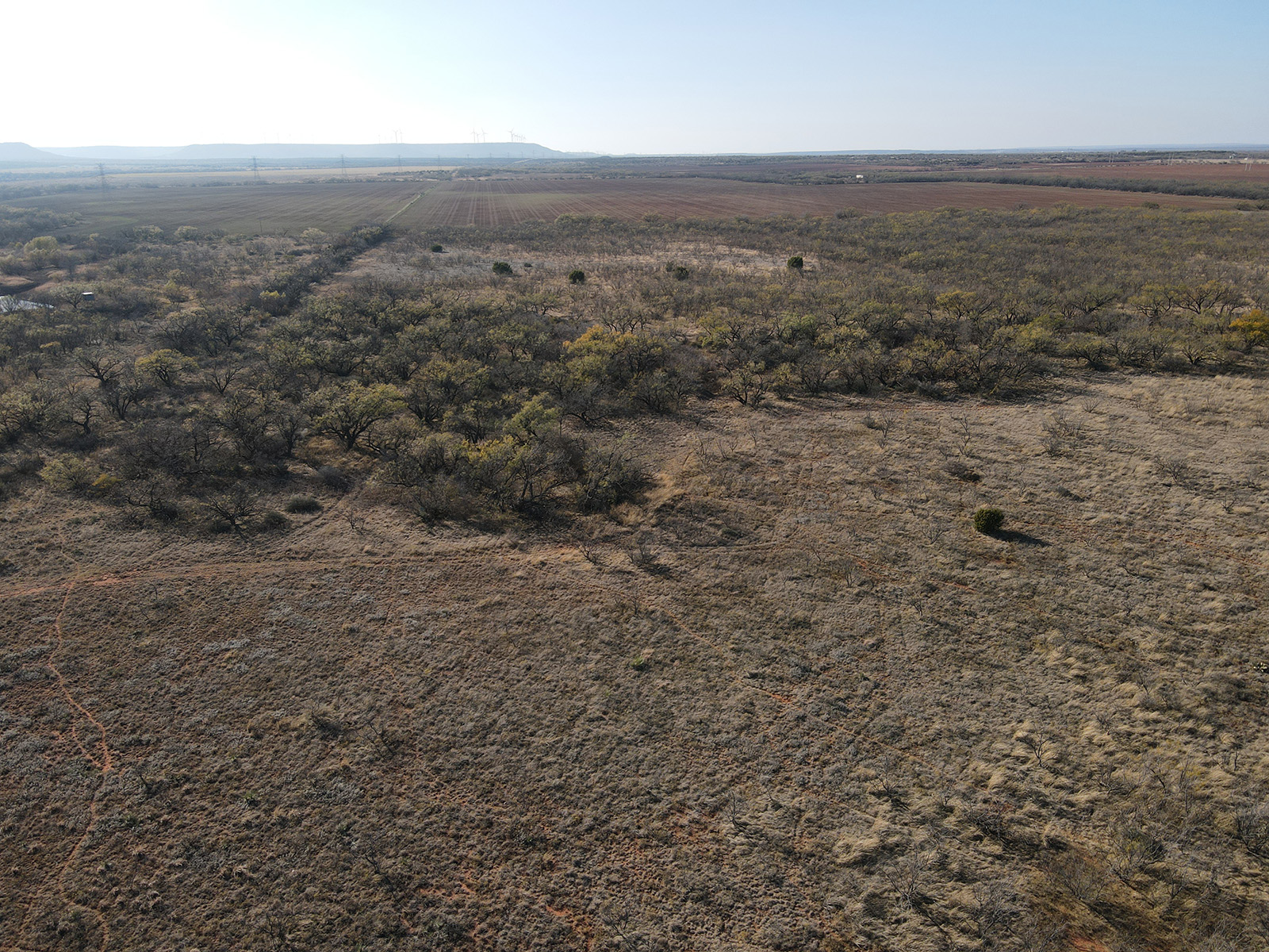
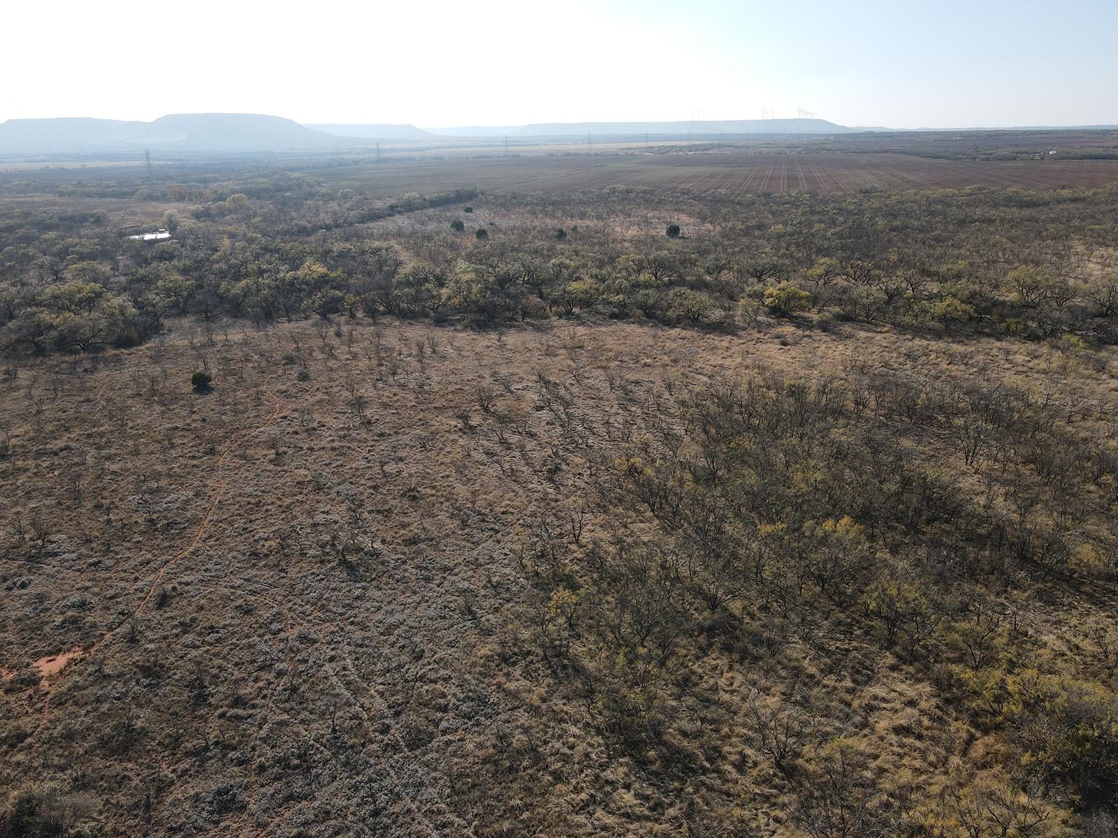
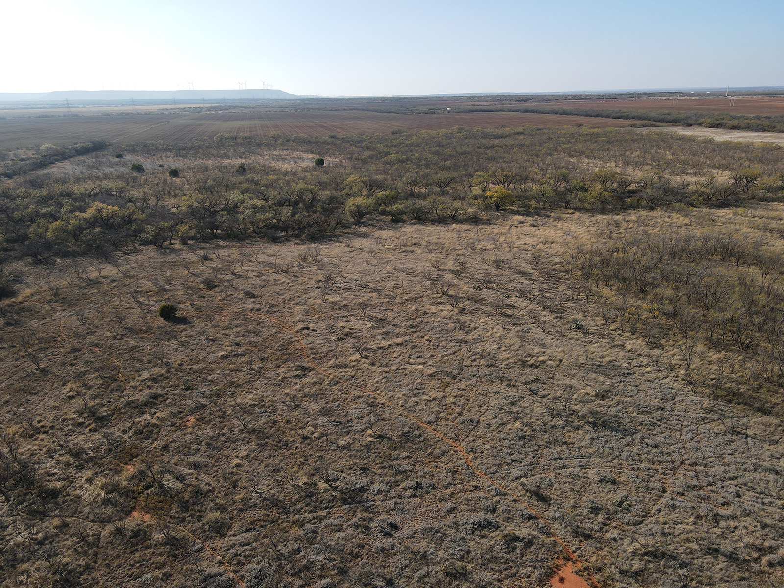
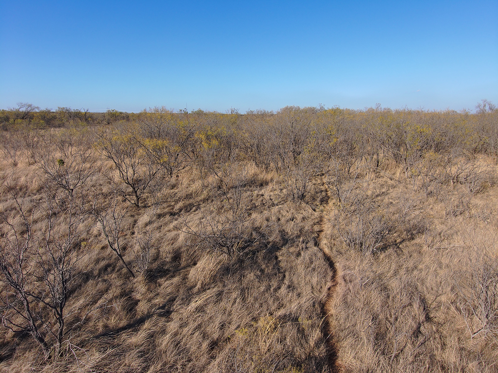
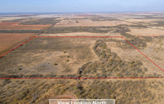
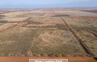
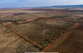
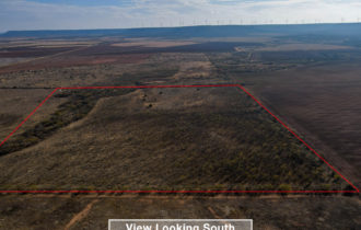
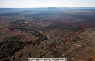
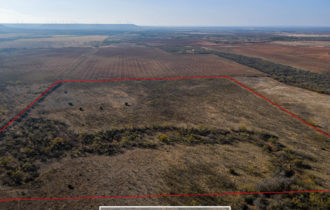
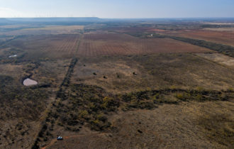
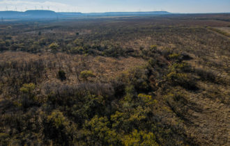
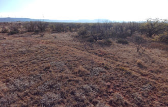
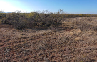
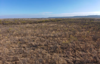
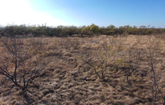
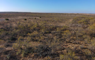
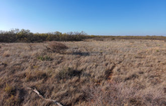
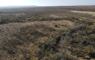
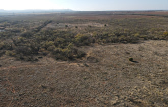
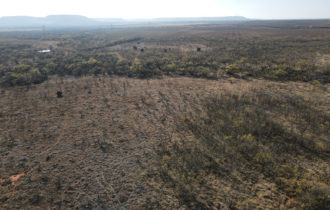
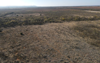
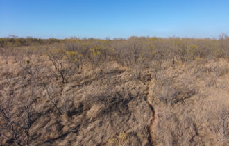
With long-views, this unrestricted 40 acre parcel of vacant land is an ideal property for hunting (deer, quail, hogs, dove), recreation, four-wheeling, etc.
Payment Options
Payment Note(s)
If you are interested in purchasing this parcel, click the “Reserve Now” button above to let us know you’ve chosen this property.
Description
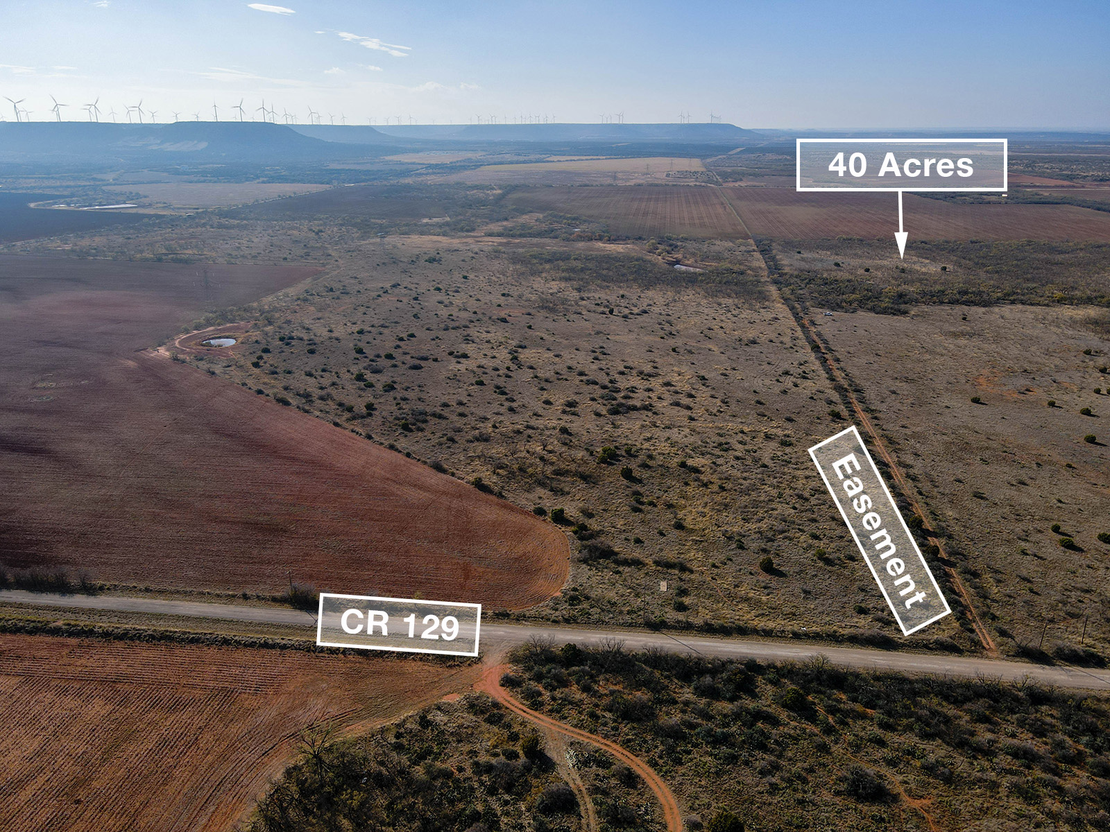
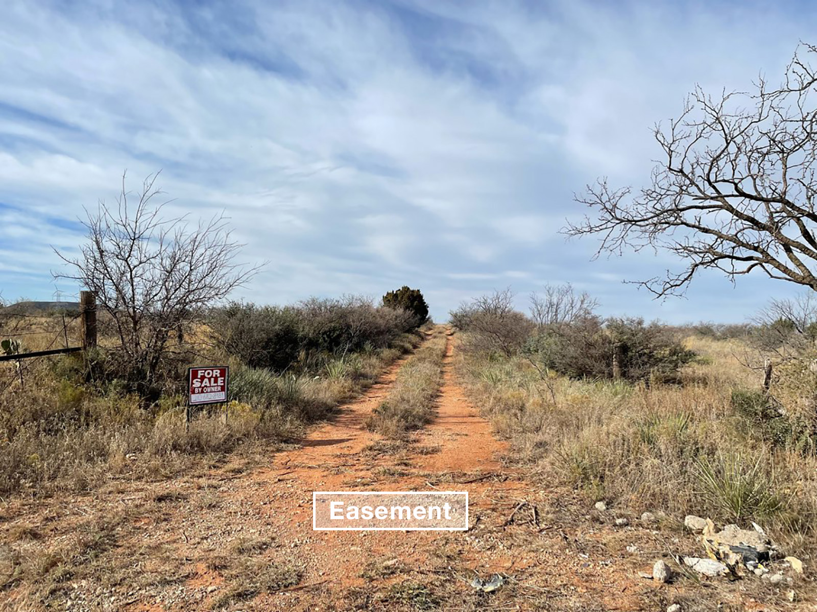
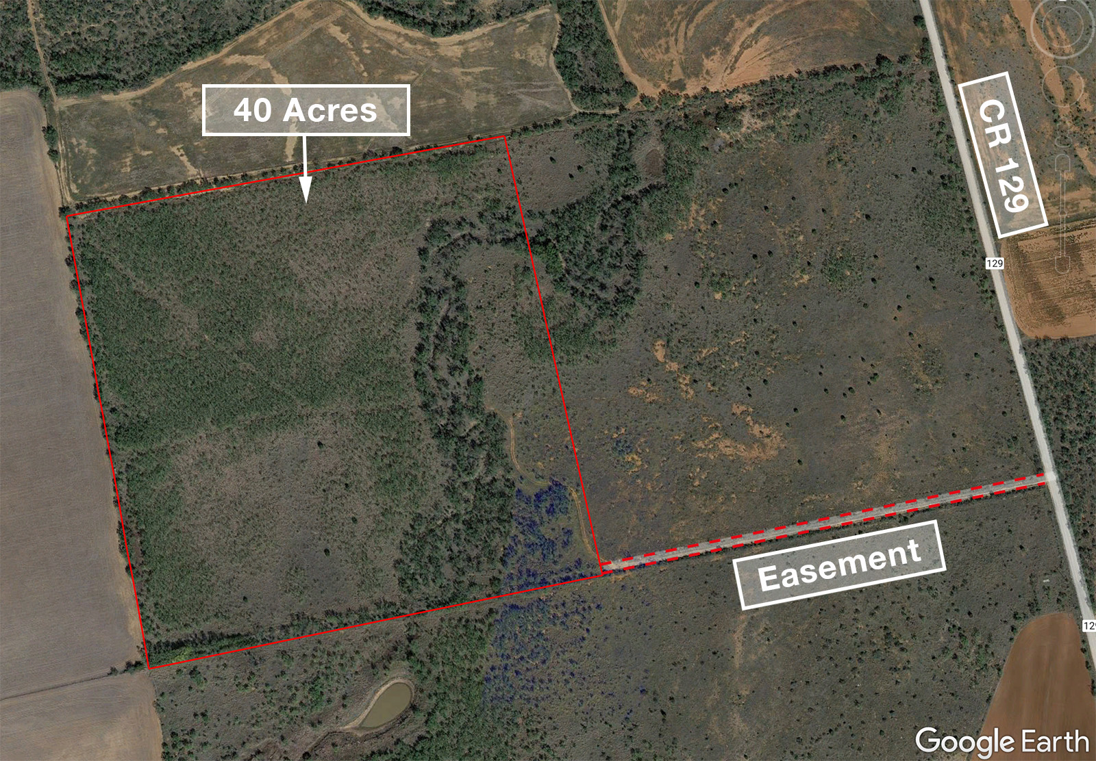
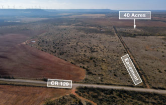
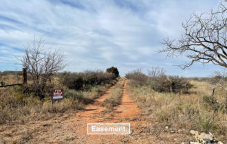
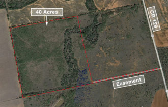
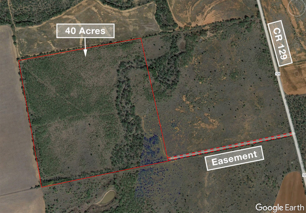
If long views, wide open space and privacy are what you are looking for, look no further than this 40 acre parcel of unrestricted land near Trent. Just a short drive to Sweetwater or Abilene, property has a wet-weather creek, old fencing on 3 sides and is great for hunting (deer, quail, dove, hogs), four-wheeling or other recreation. No building restrictions – bring an RV or camper for a weekend getaway, bring in a mobile home, or build your dream home. Property is accessed via a deeded easement road off of CR 129.
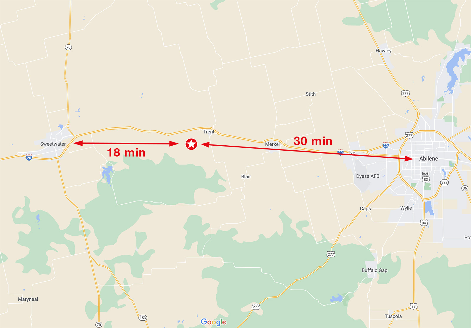
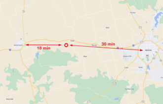
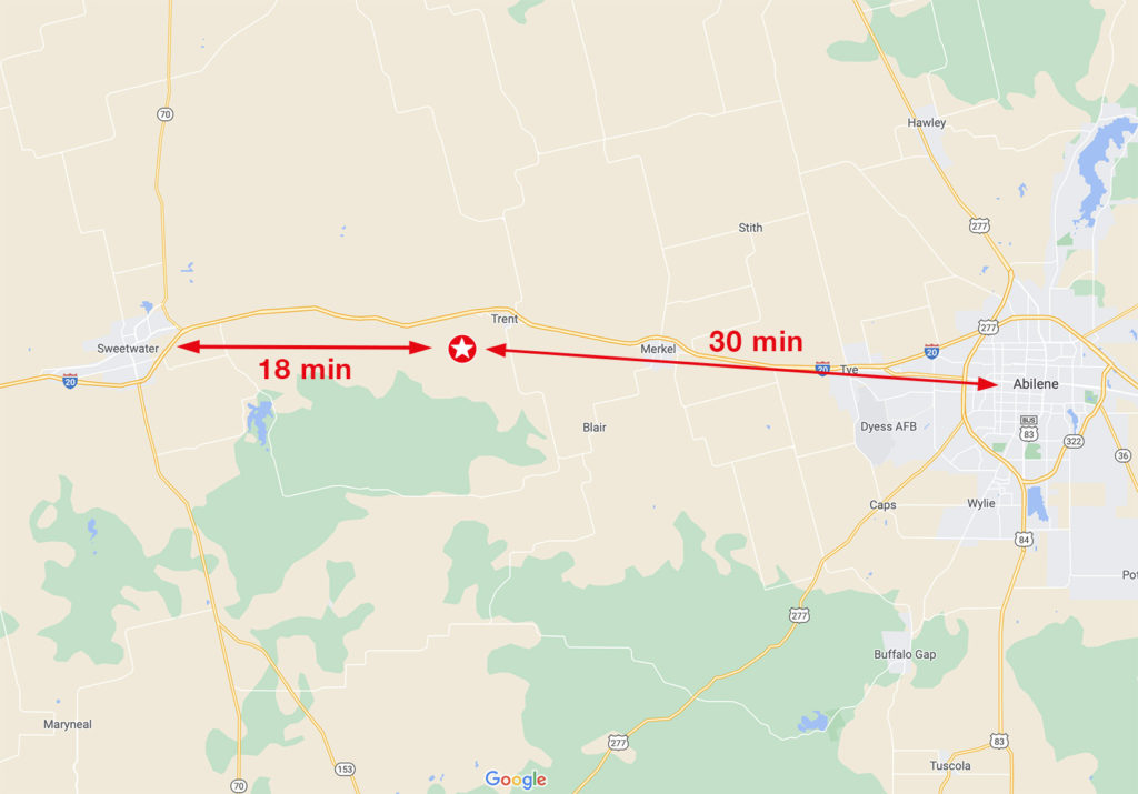
Easy access to US Hwy 84/I-20; 18 min to Sweetwater, 30 min to Abilene
- Electric: Available at CR 129. Pick your own service provider!
- Water: Well needed.
- Sewer: Septic needed.
Property Information
Parcel Size
40 Acres
State
Texas
County
Nolan
Nearest Cities
Trent, Sweetwater
Parcel #
19149
Address
CR 129
Legal Description
W/2 of S/2 of NE/4 of Sec 44, Block 19, T&P Ry. Co. Survey
Zip Code
79561
Annual Taxes
$961.95
Parcel Map
Features
Acres
40
County
Nolan
Access
Deeded Easement
Power
Available
Water
Well needed
Coordinates
32.470947, -100.165065
Zoning
Residential
Location
Directions
Approx GPS coordinates for where the easement road meets CR 129: 32.470088, -100.158291.
From I-20 in Trent: Head west on I-20. Take exit 259 toward Sylvester Rd. Merge onto I-20 Frontage Rd. Turn right before the overpass toward Sylvester Rd. Turn left onto CR 129 for 1.7 miles. Easement road will be on your right. Look for FSBO sign. Turn right onto easement and proceed for about 0.2 miles to the property.
Approximate GPS coordinates for boundary corners (lat, long):
NE: 32.472902, -100.163389
SE: 32.469357, -100.162461
SW: 32.468639, -100.166649
NW: 32.472230, -100.167589
Notes
- No appointment necessary for showings.
- Will work with buyer’s agents. Buyer or buyer’s agent to confirm utilities.
- Property lines on images are approximate.

