Unrestricted 13 Acres of Land off Hwy 21 near Dale/Mustang Ridge, TX
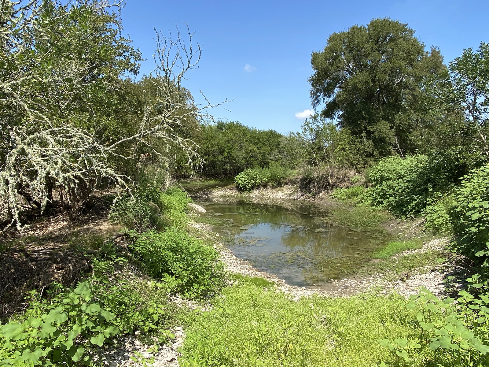
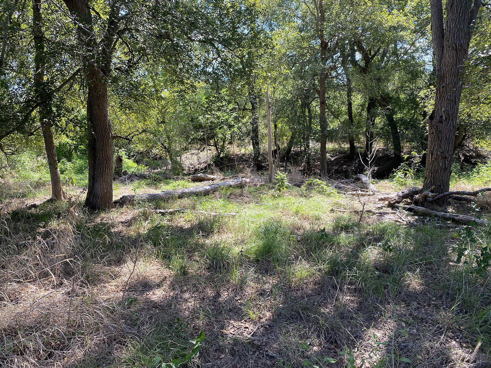
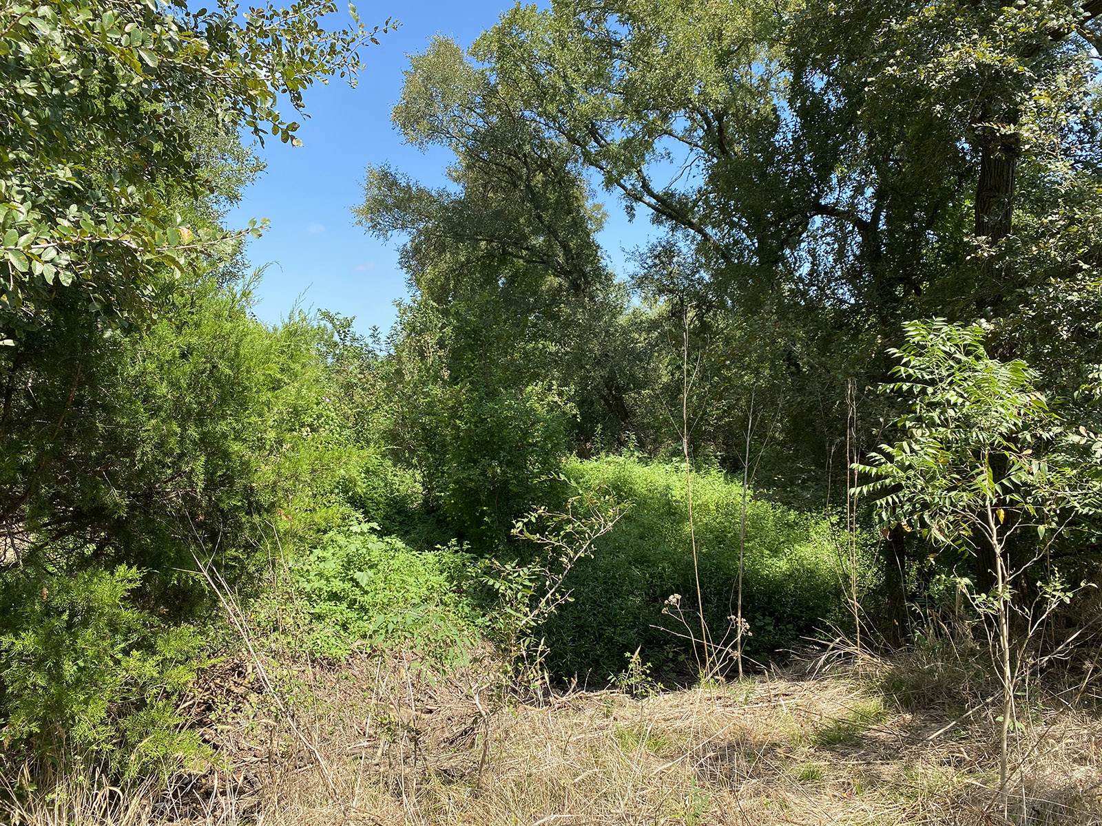
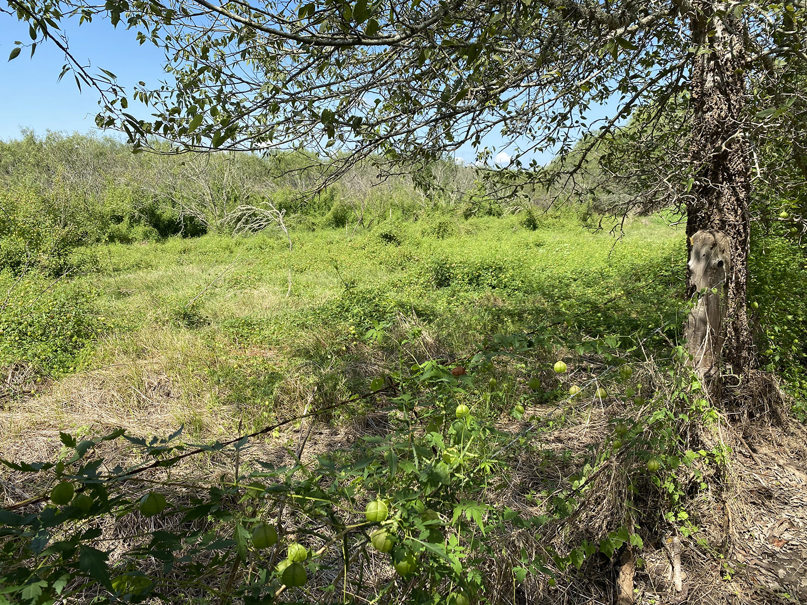
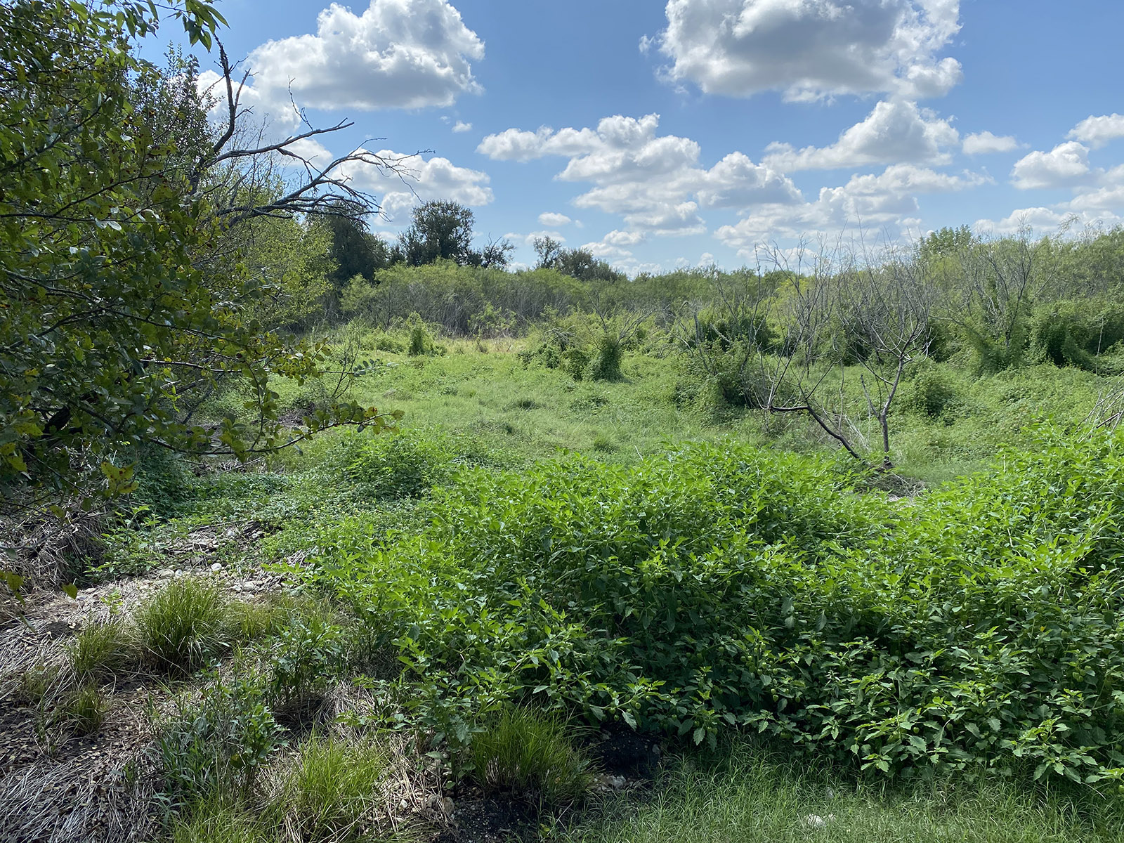
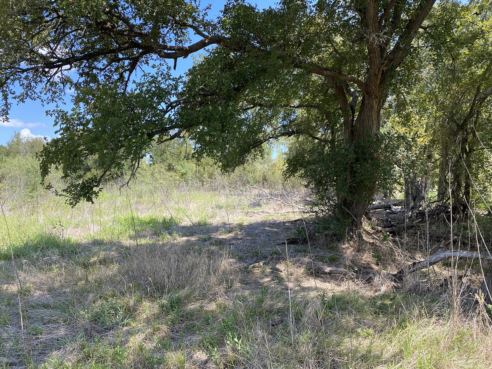
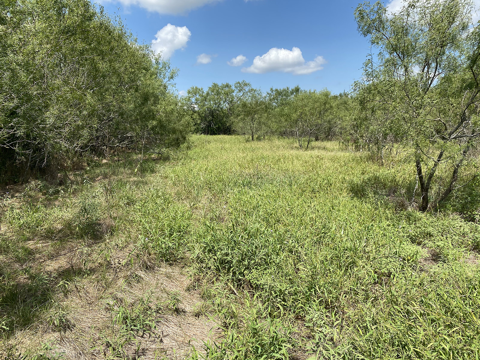
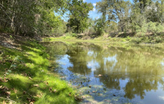
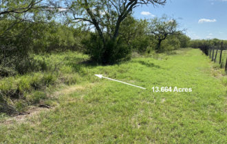
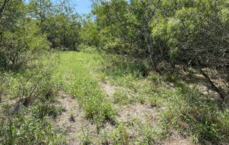
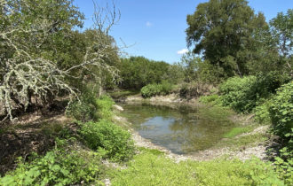
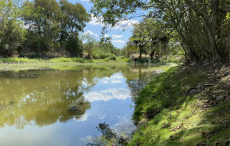
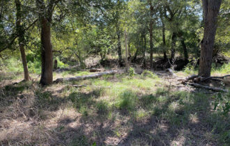
Gorgeous wooded land with pond. Easy access to Austin.
Payment Options
Payment Note(s)
If you are interested in purchasing this parcel, click the “Reserve Now” button above to let us know you’ve chosen this property.
Description
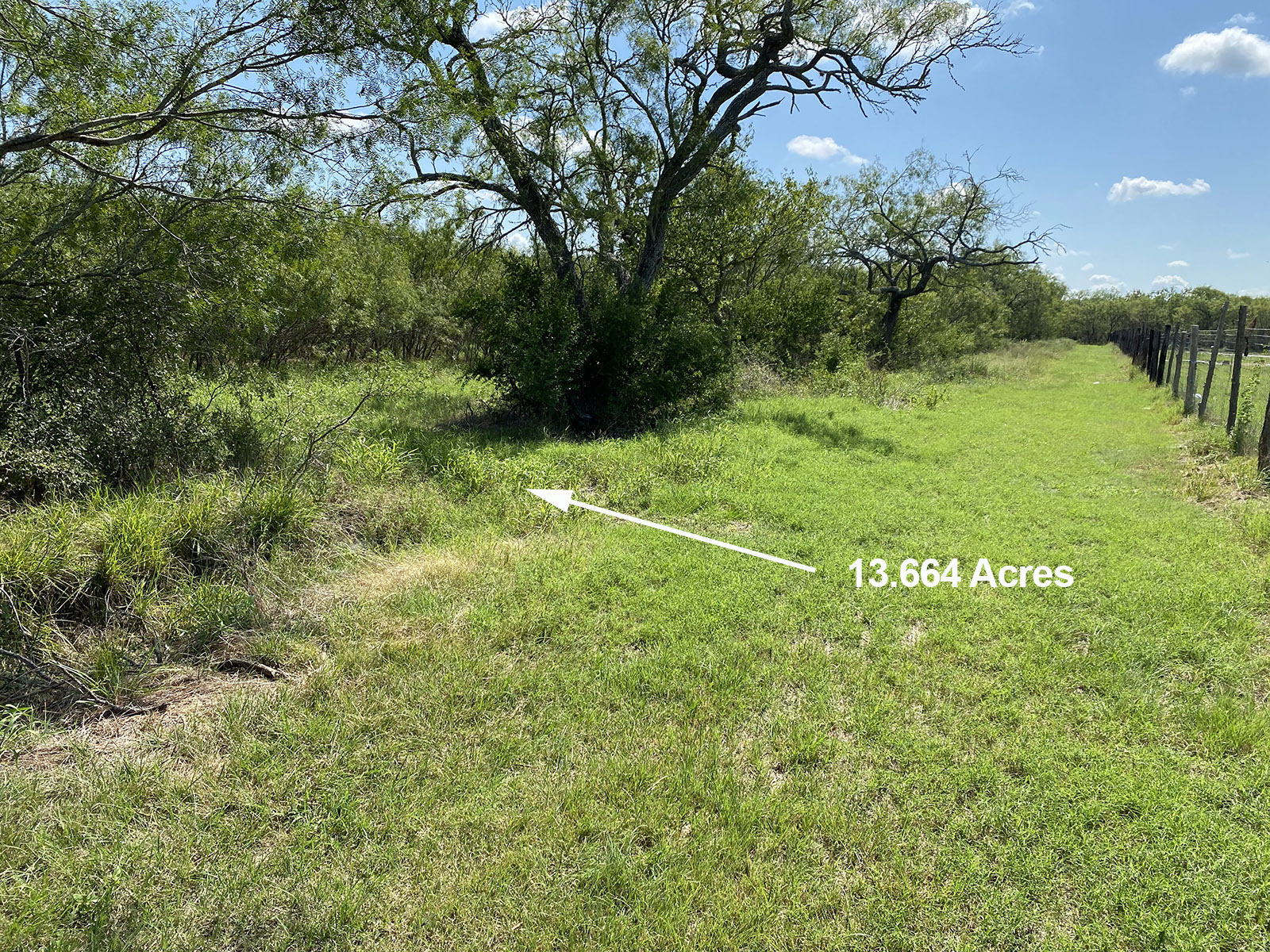
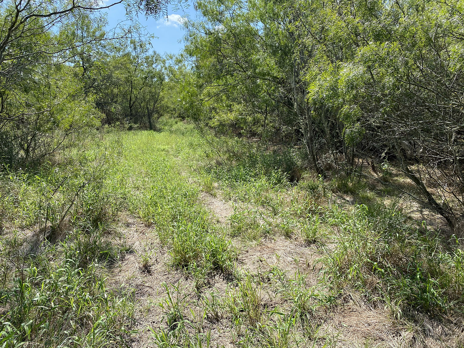
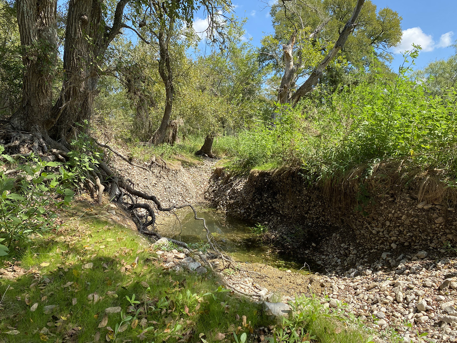
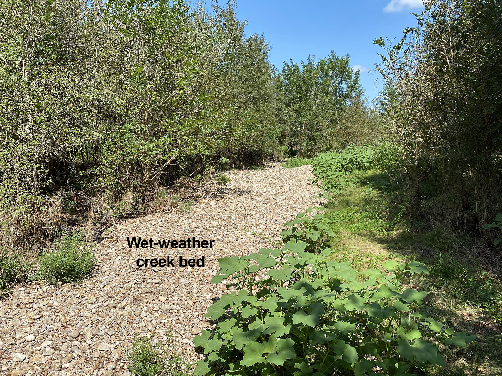
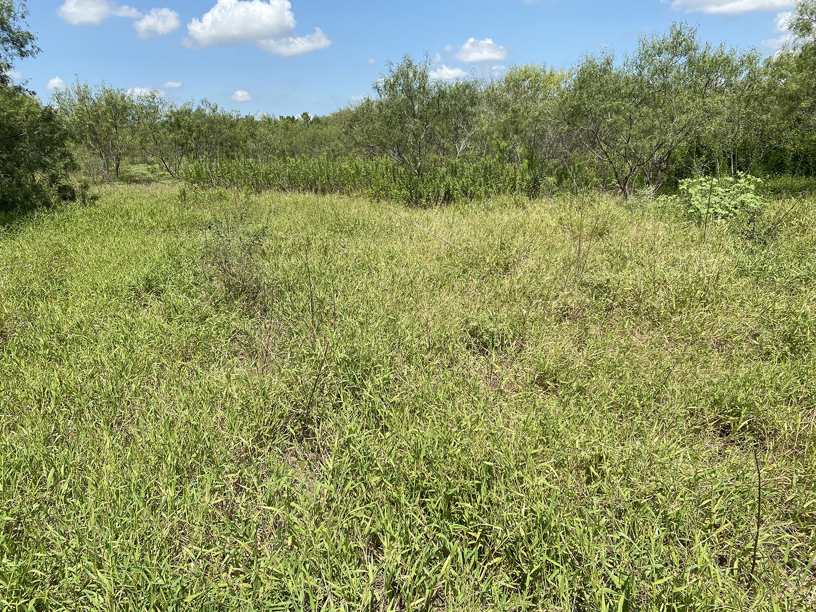
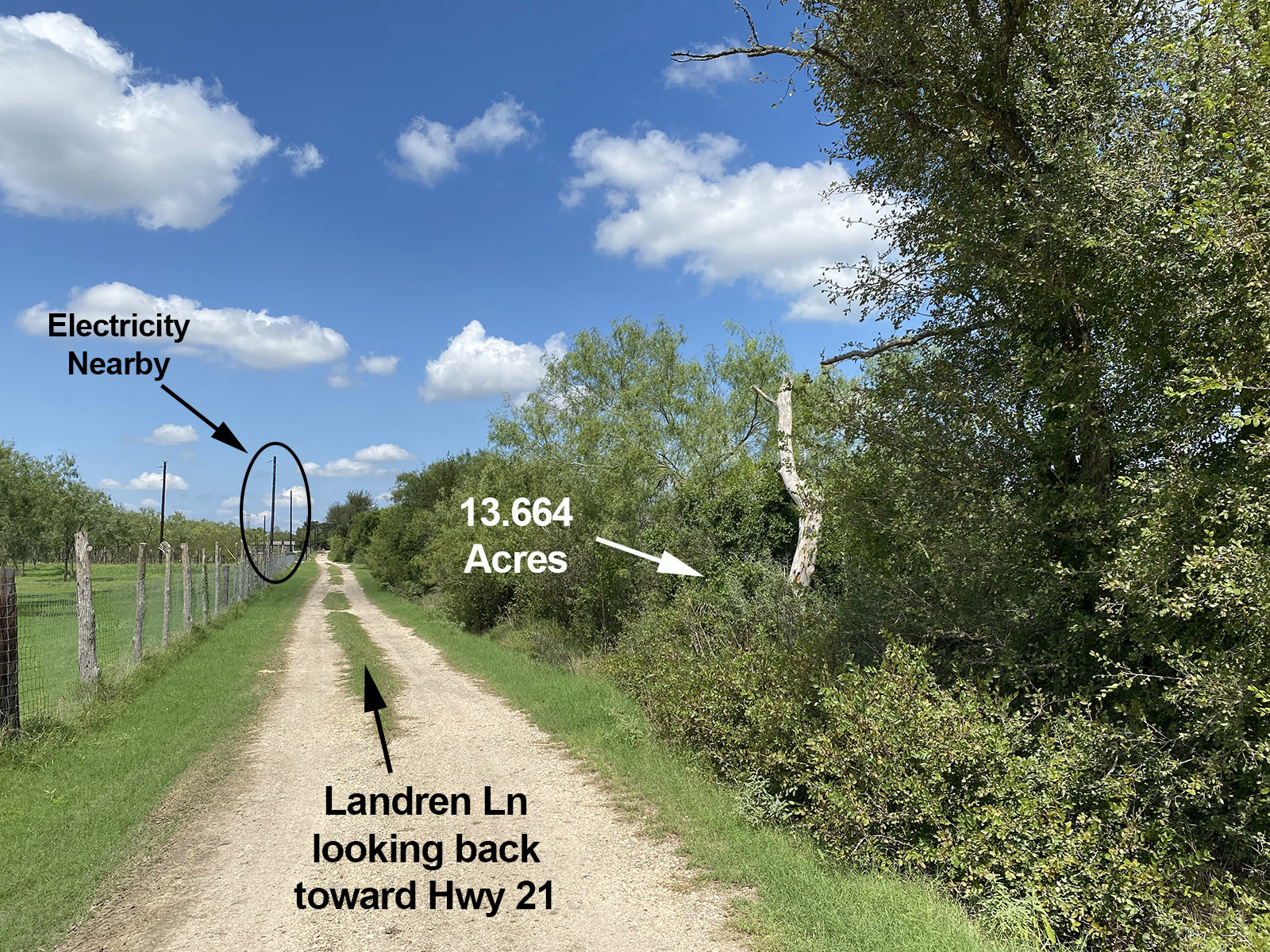
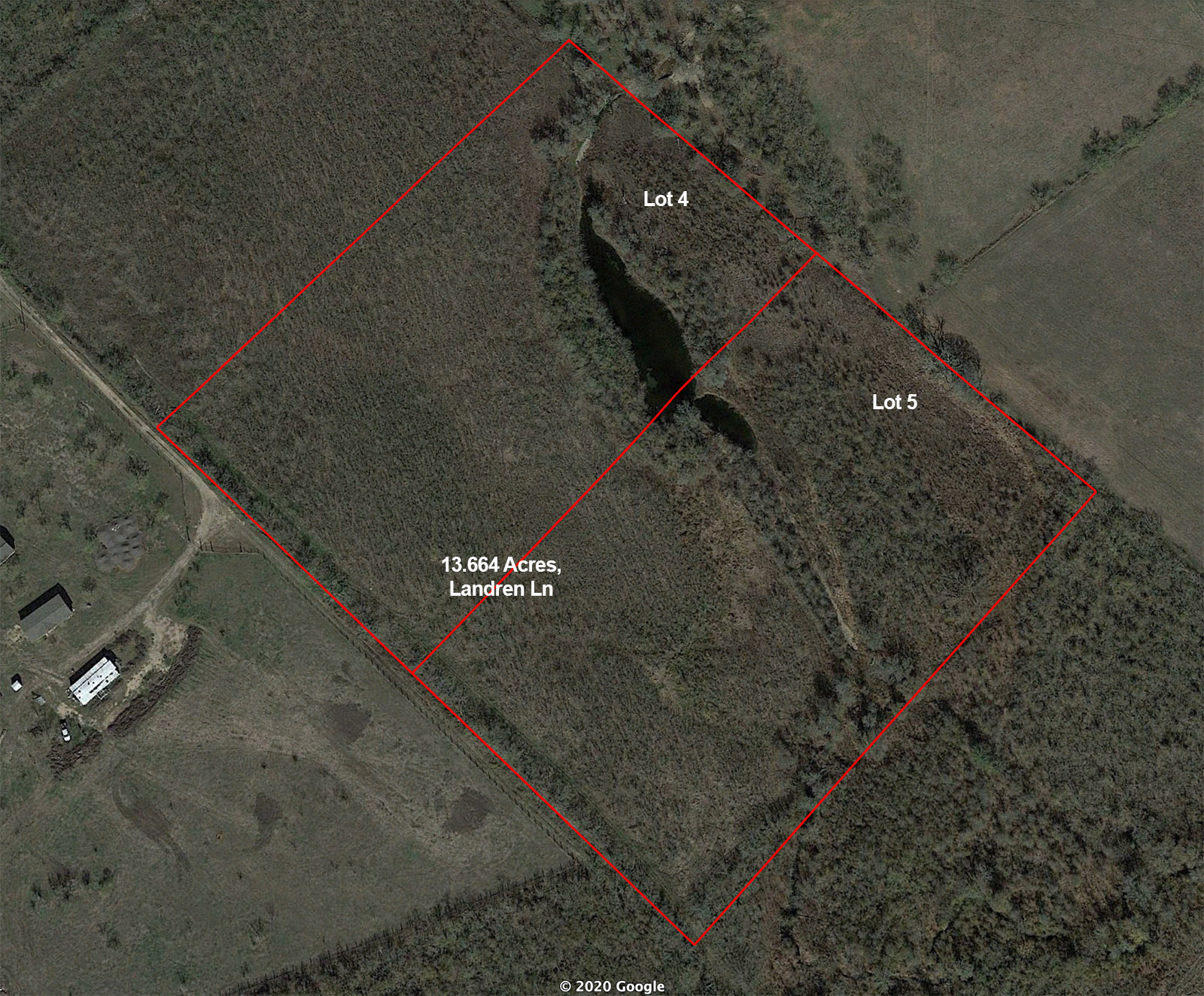
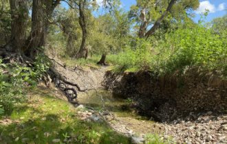
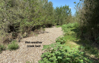
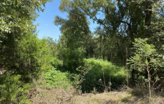
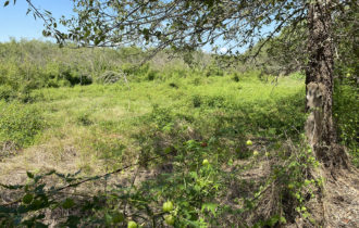
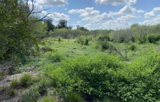
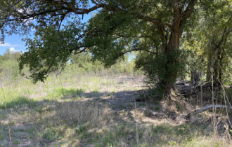
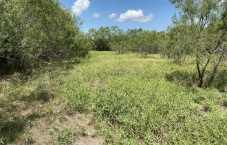
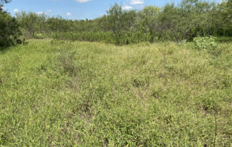
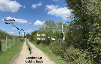
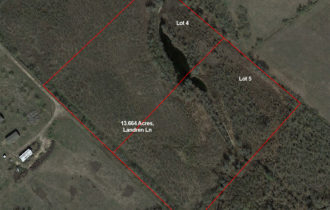
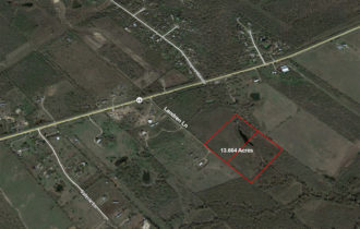
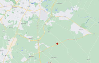
Beautiful, wooded 13.664 acres of vacant land off Hwy 21 near Dale/Mustang Ridge. Many mature trees with a gorgeous pond and wet-weather creek through back of property. 2 adjacent lots in quiet, secluded area, but close to modern conveniences. Perfect setting for your tiny house, cabin, cottage, mobile home, manufactured home, site-built home, etc. No restrictions and currently Ag exempt. Put some space between you and your neighbors! Live NEAR Austin, but not IN Austin! Or, just use as a recreational property – pop a tent and camp on your own land!
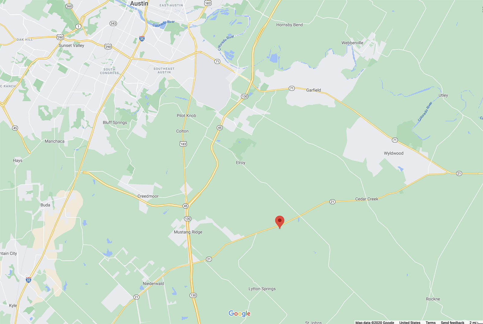
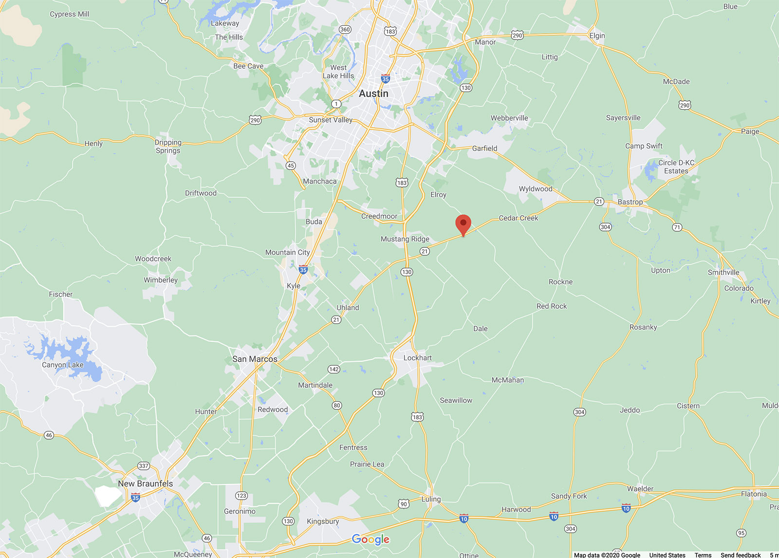
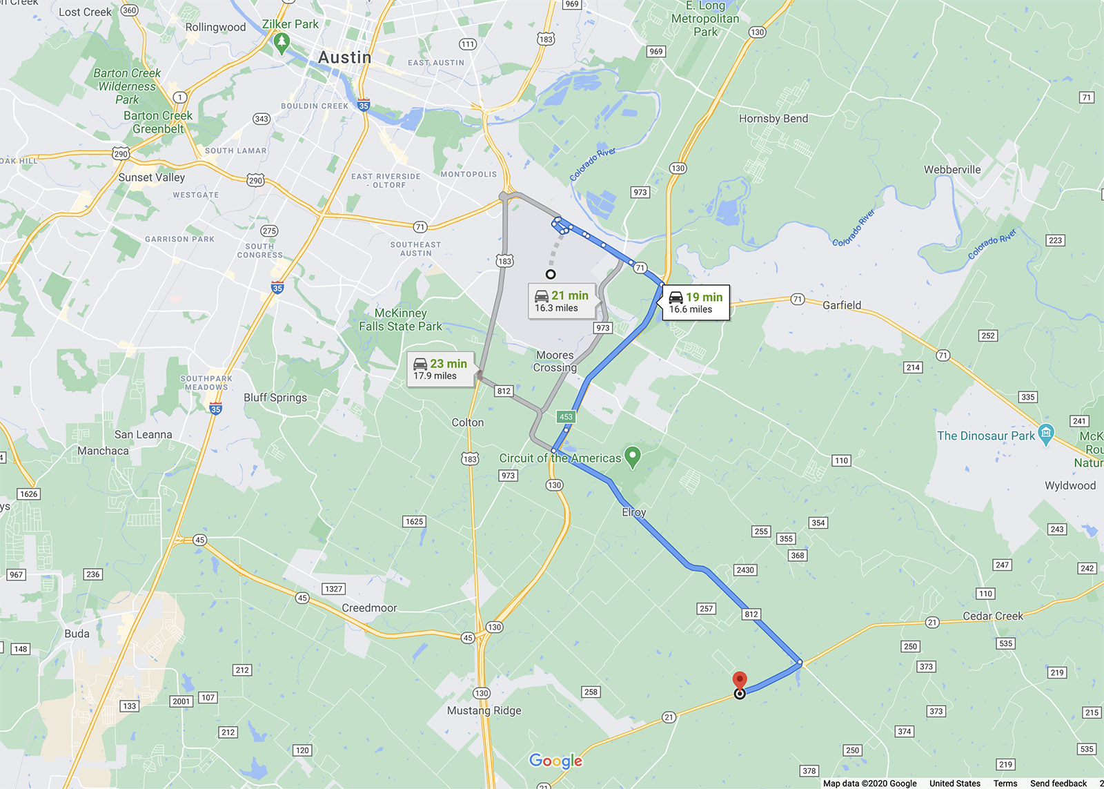
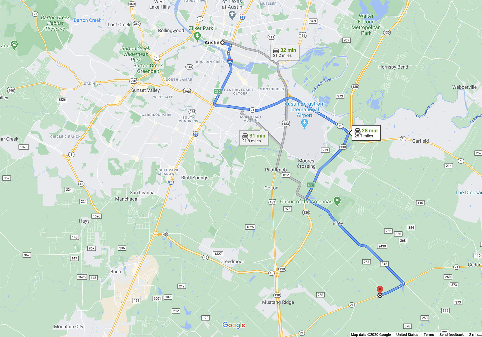
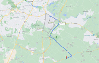
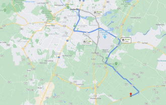
Easy access to 130 toll road; 10 min to Circuit of the Americas; 20 min to Tesla Giga Texas, ABIA and Bastrop; 30 min to downtown Austin.
- Electric: Available through Bluebonnet Electric Coop
- Water: Available through Aqua Water Supply Corp
- Sewer: Septic needed
Property Information
Parcel Size
13.664 Acres
State
Texas
County
Bastrop
Nearest Cities
Dale
Parcel #
92424 & 46476
Address
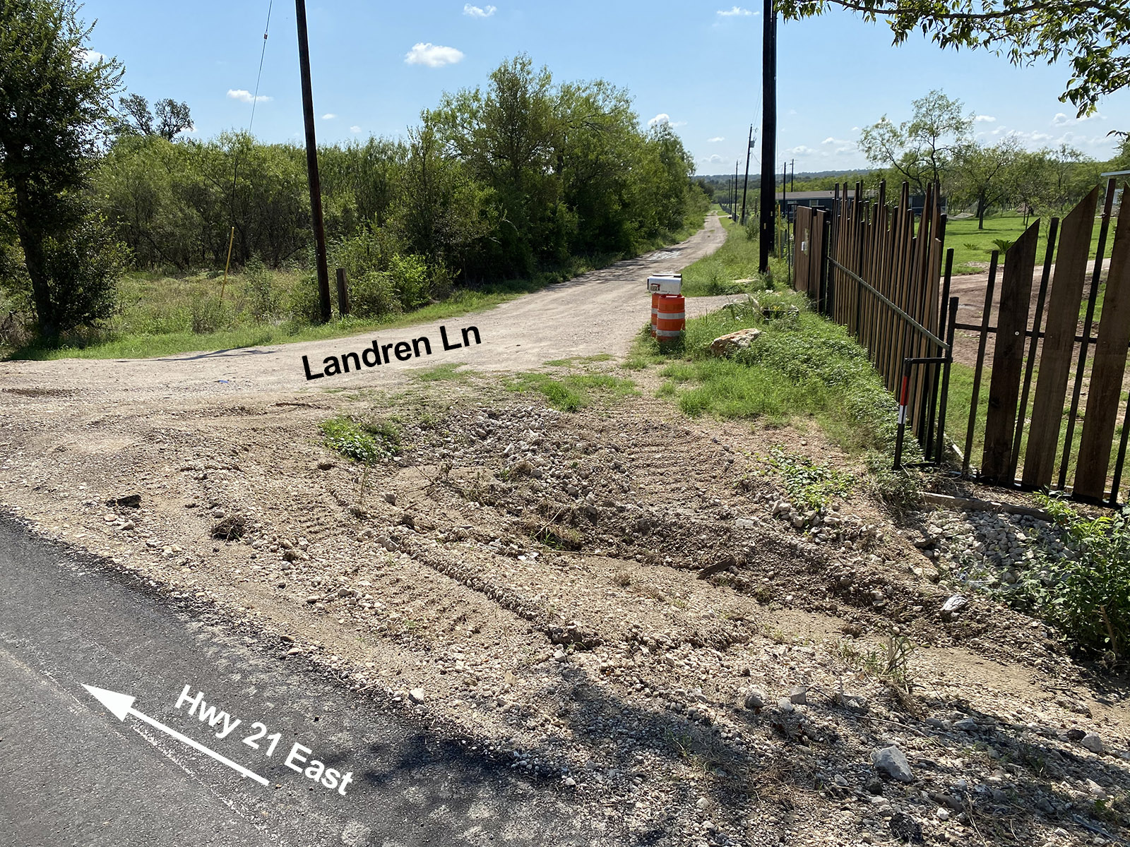
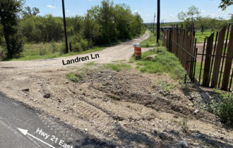
Landren Ln
Legal Description
A28 DOYLE, JAMES, TRACTS 4 & 5
Features
Acres
13.664
County
Bastrop
Access
Dirt Road
Power
Available
Water
Available
Coordinates
30.060011,-97.593982
Zoning
Residential
Notes
- No appointment necessary for showings
- Will work with buyer’s agents
- Property is in FEMA designated 100-year flood plain, although seller (and previous owner) has no knowledge of actual flooding
- Red property lines on satellite image are approximate
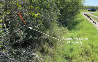
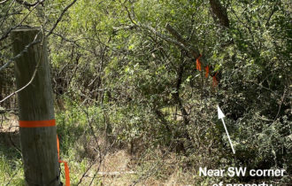
Approximate GPS coordinates for boundary corners (lat, long):
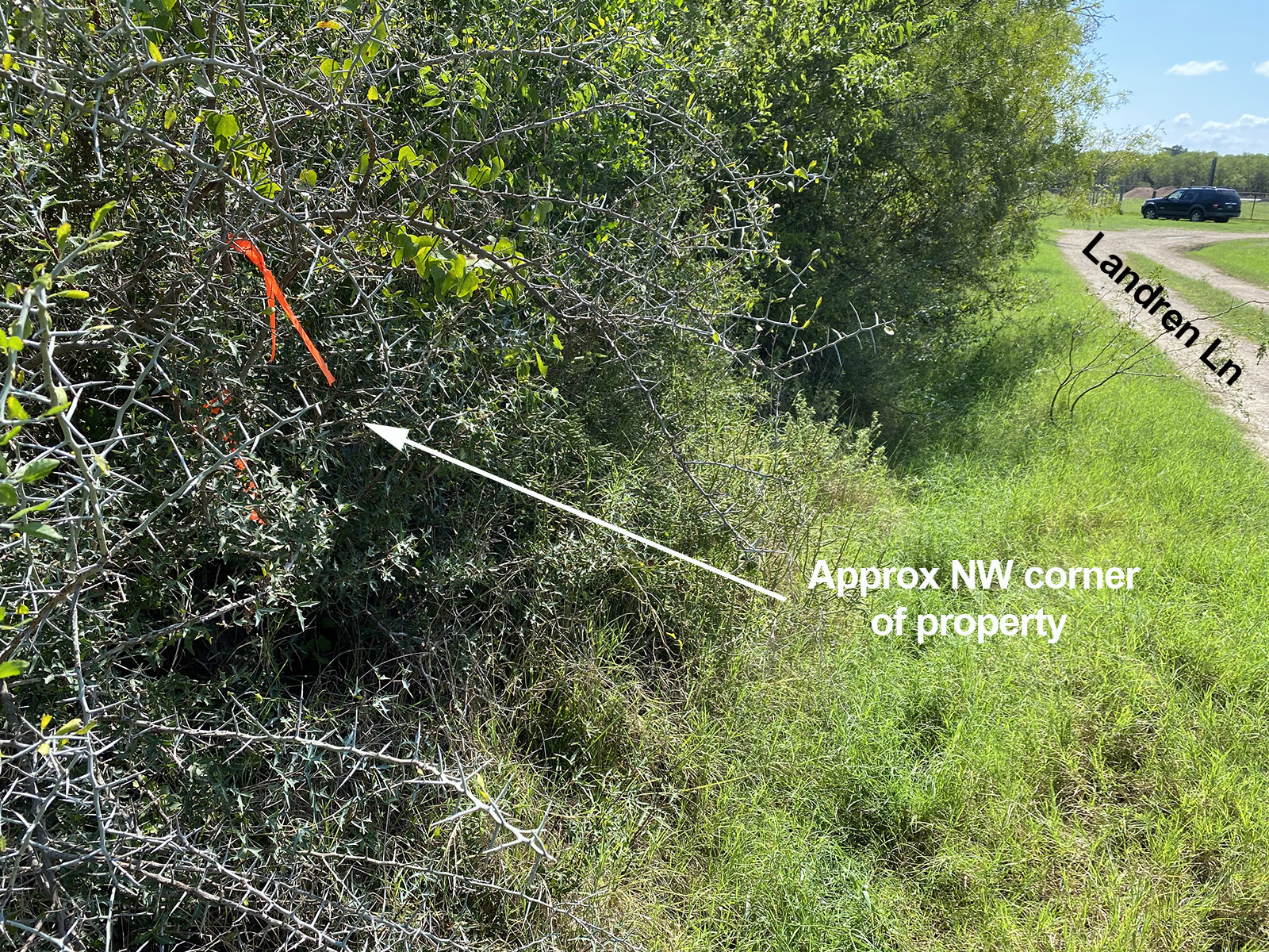
NW: 30.060011, -97.593982
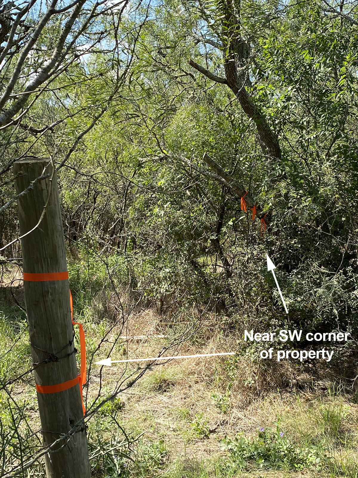
SW: 30.058366, -97.592043
SE: 30.059729, -97.590505
NE: 30.061381, -97.592433


