Ag-Exempt 11 Acres with Tank near Waelder, TX
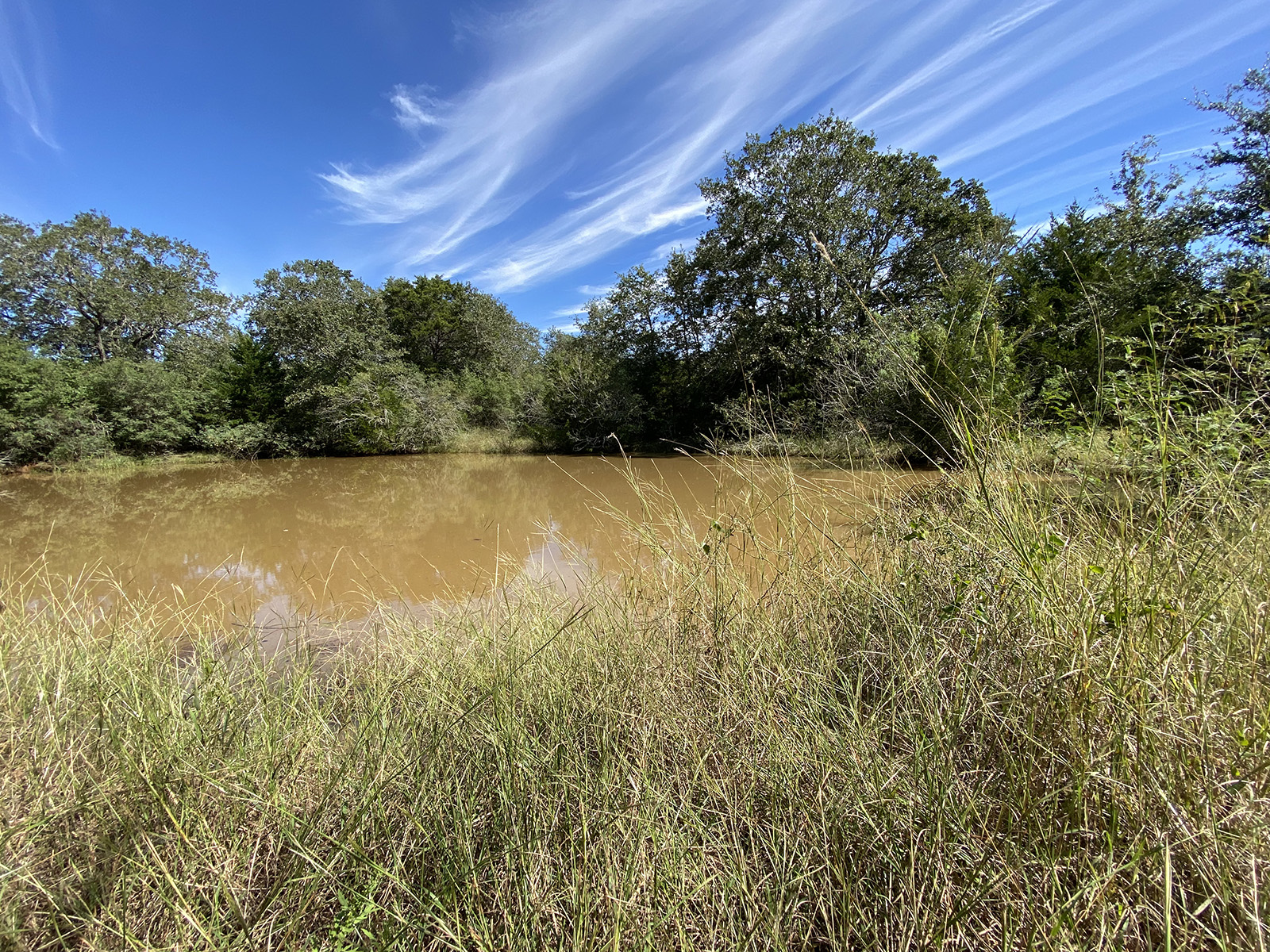
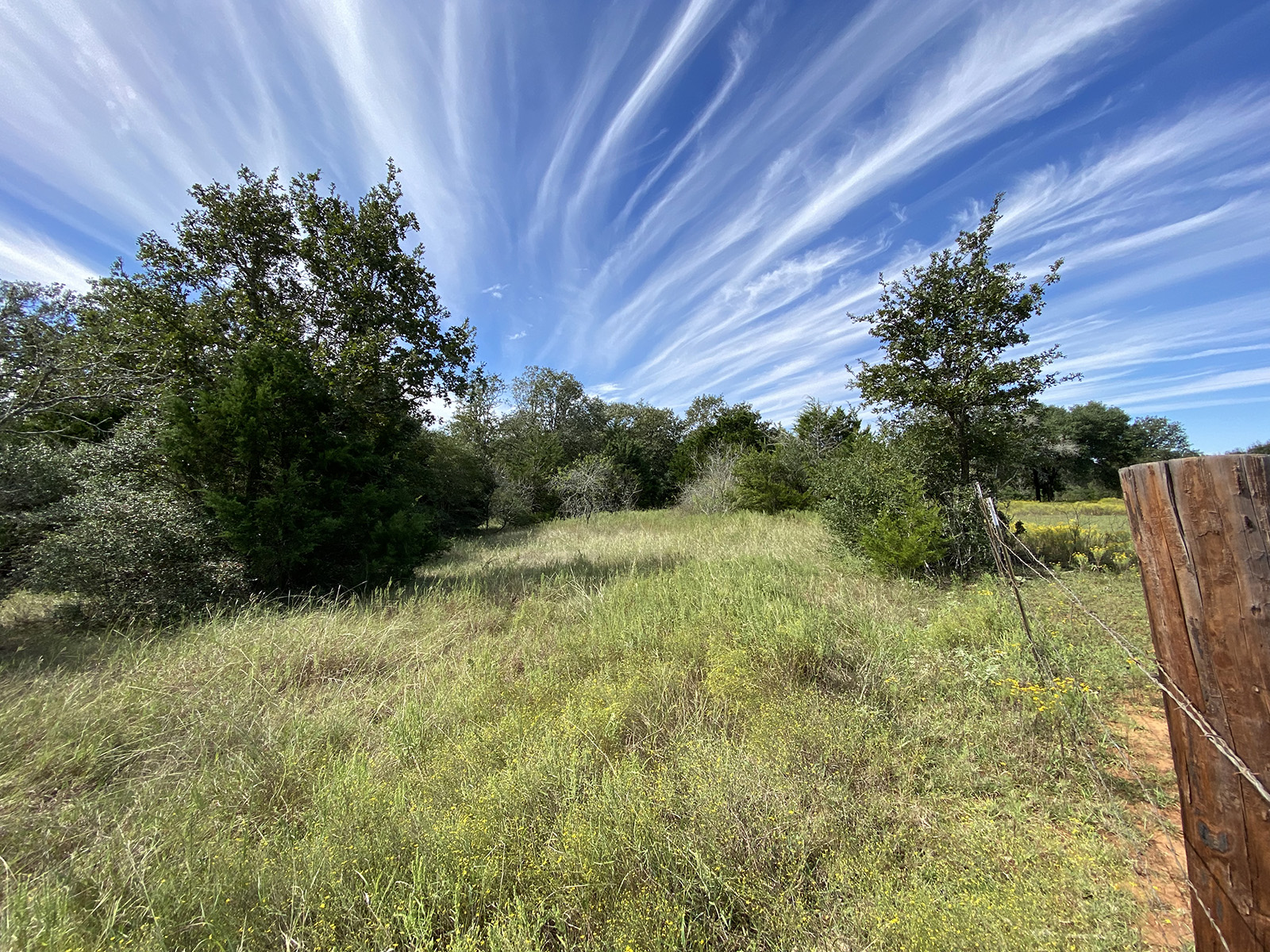
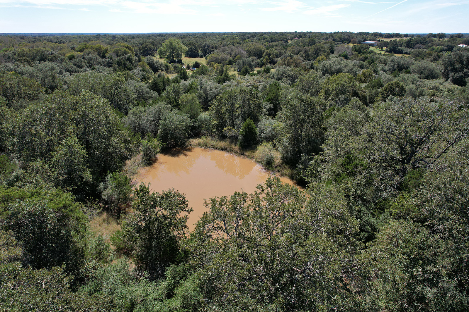
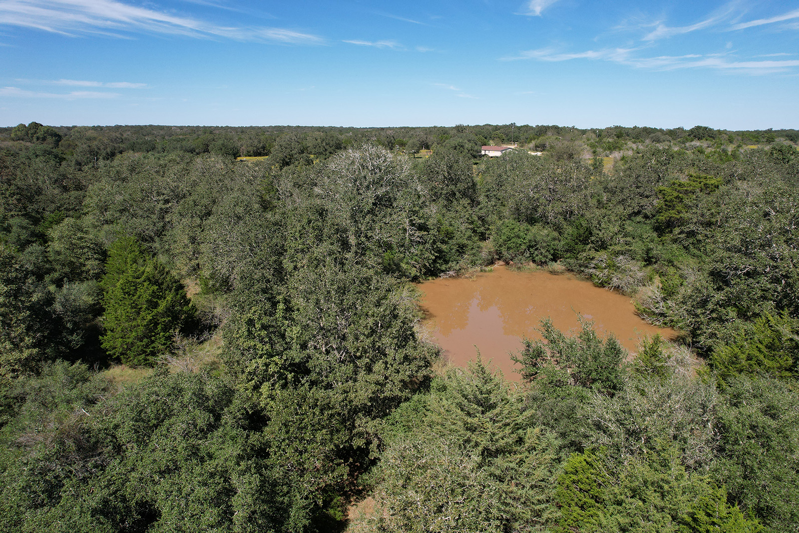
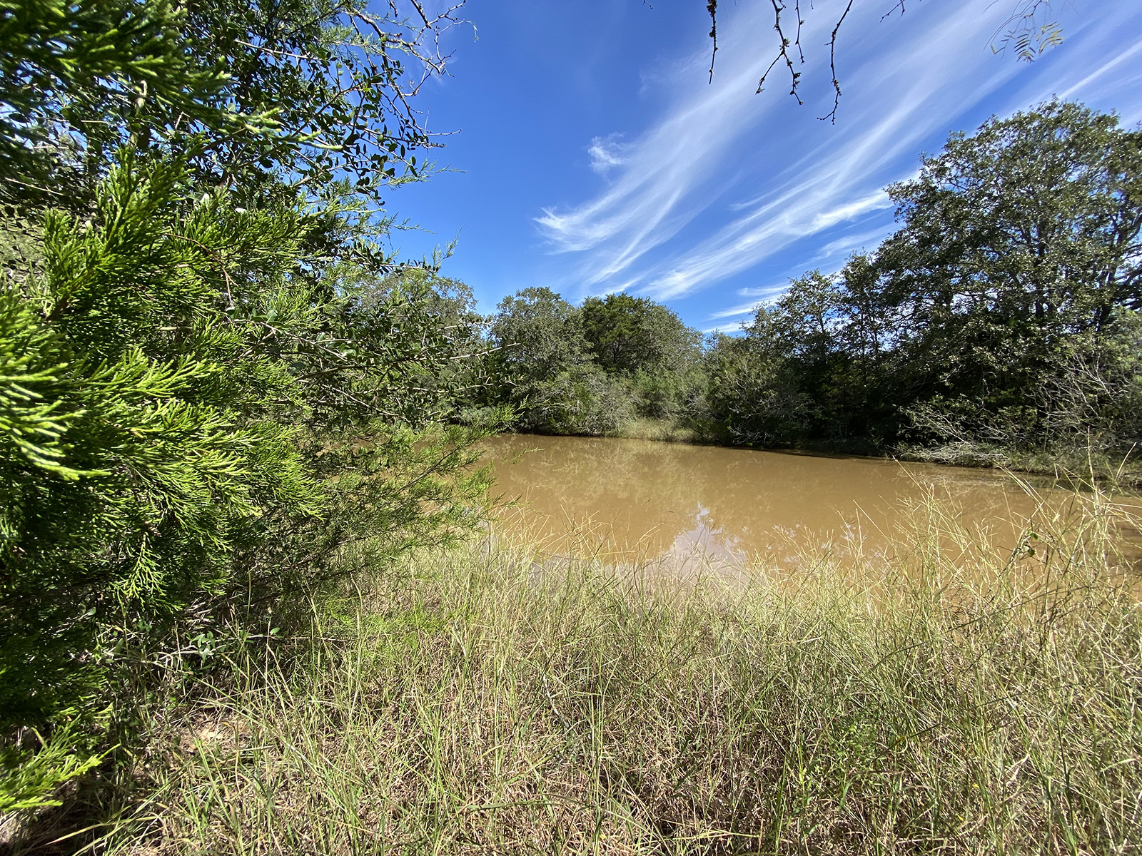
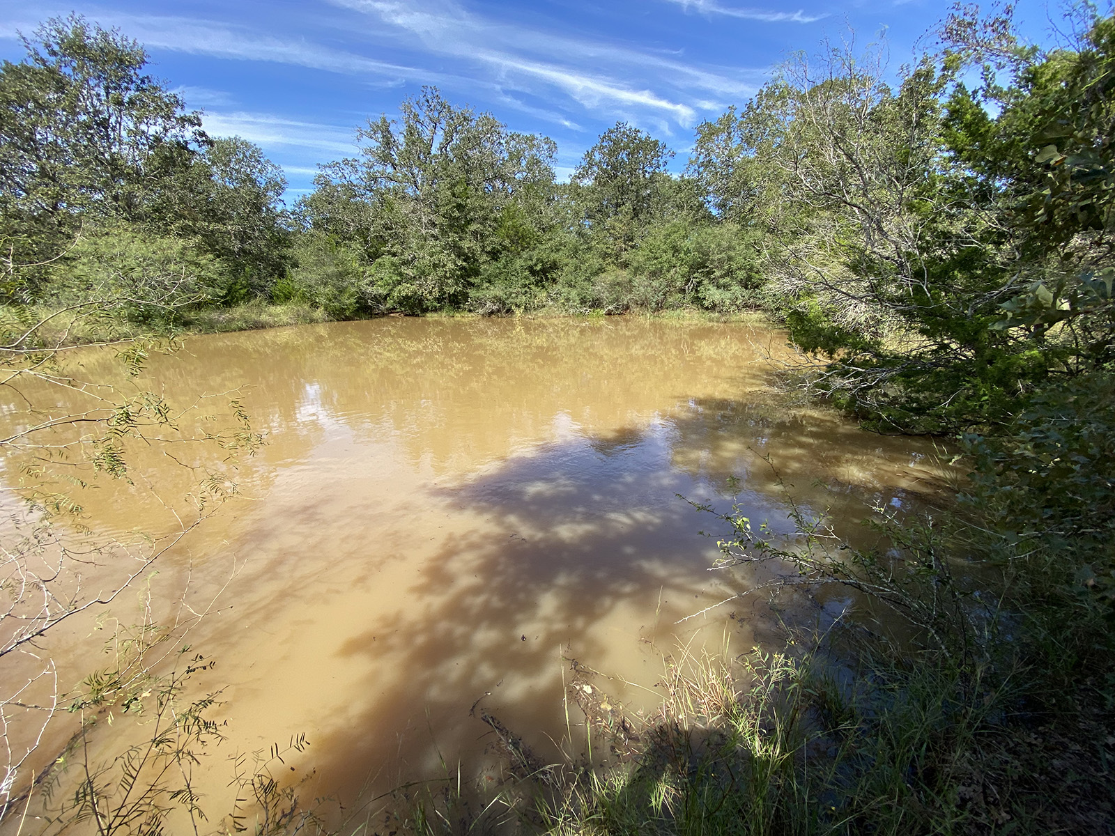
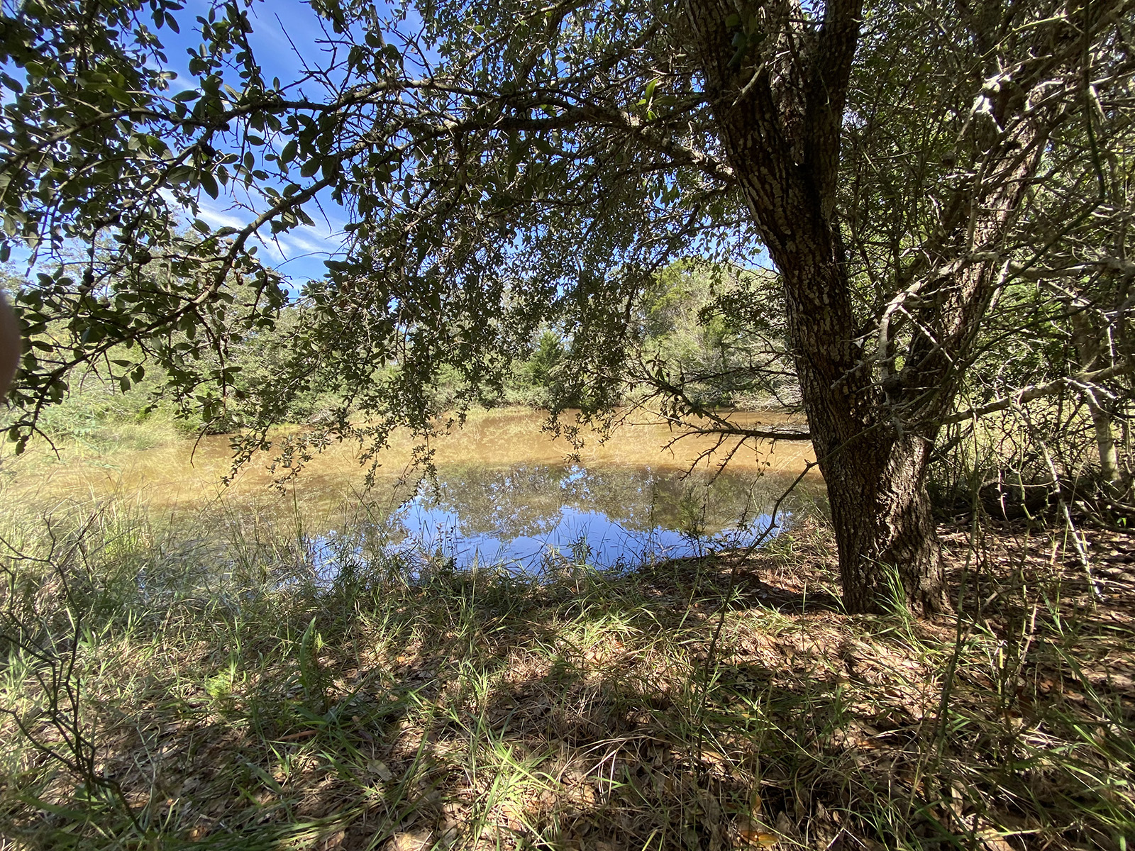
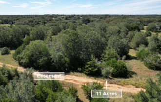
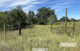
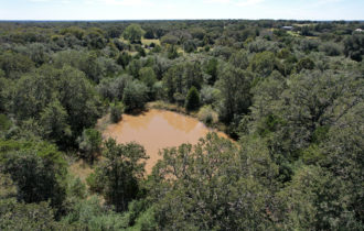
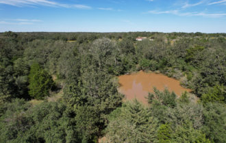
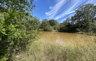
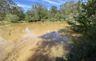
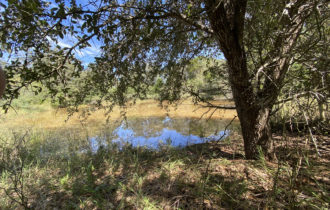
Unrestricted, wooded property with stock tank. Currently ag-exempt and mostly fenced. Great for livestock.
Payment Options
Payment Note(s)
If you are interested in purchasing this parcel, click the “Reserve Now” button above to let us know you’ve chosen this property.
Description
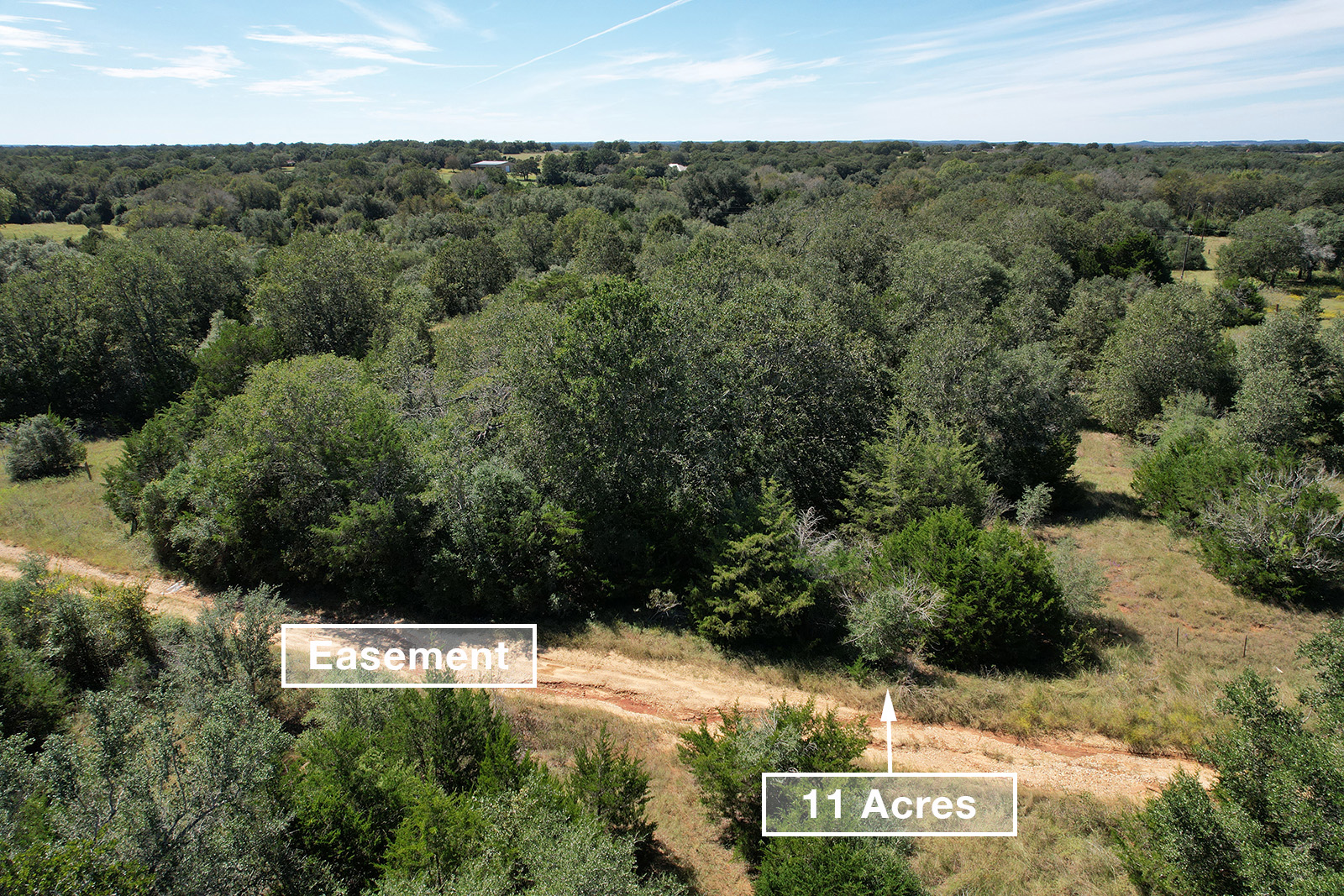
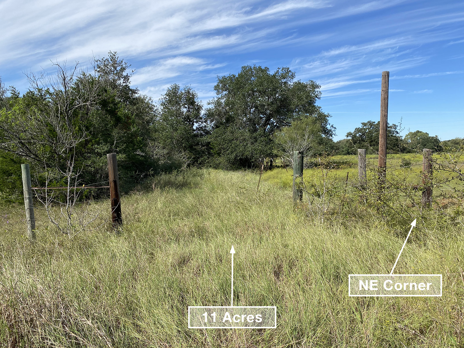
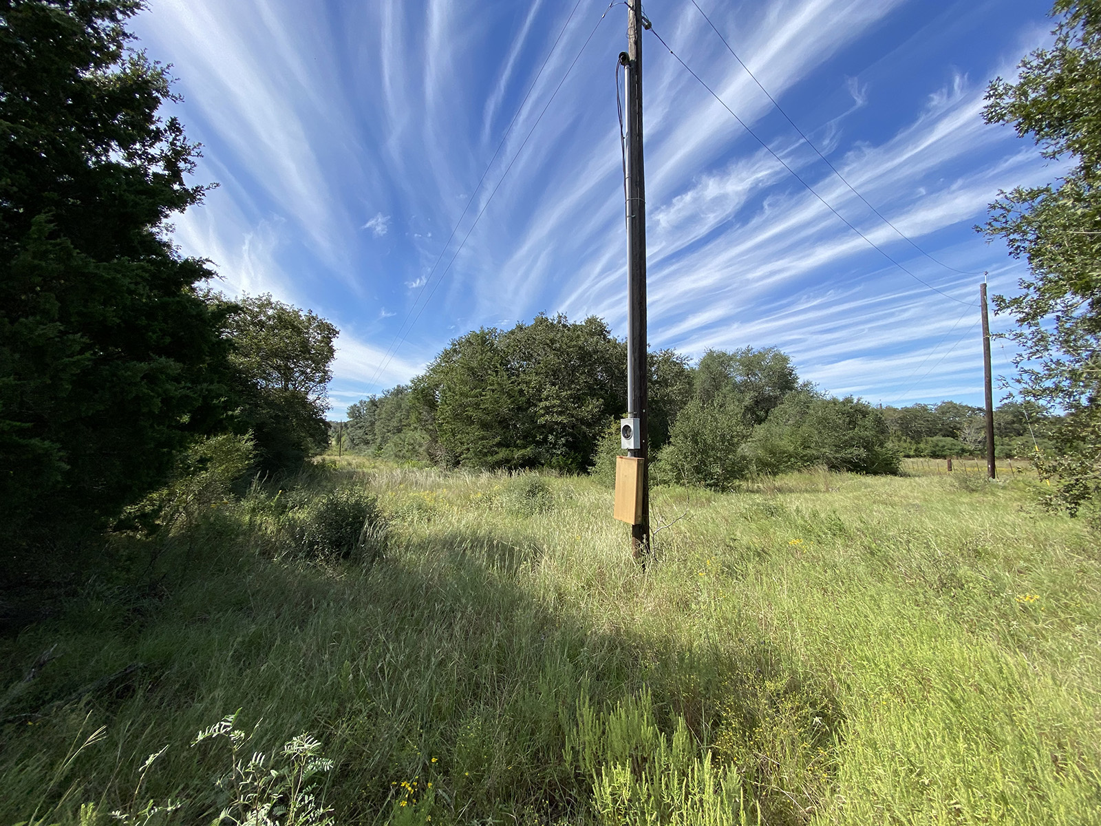
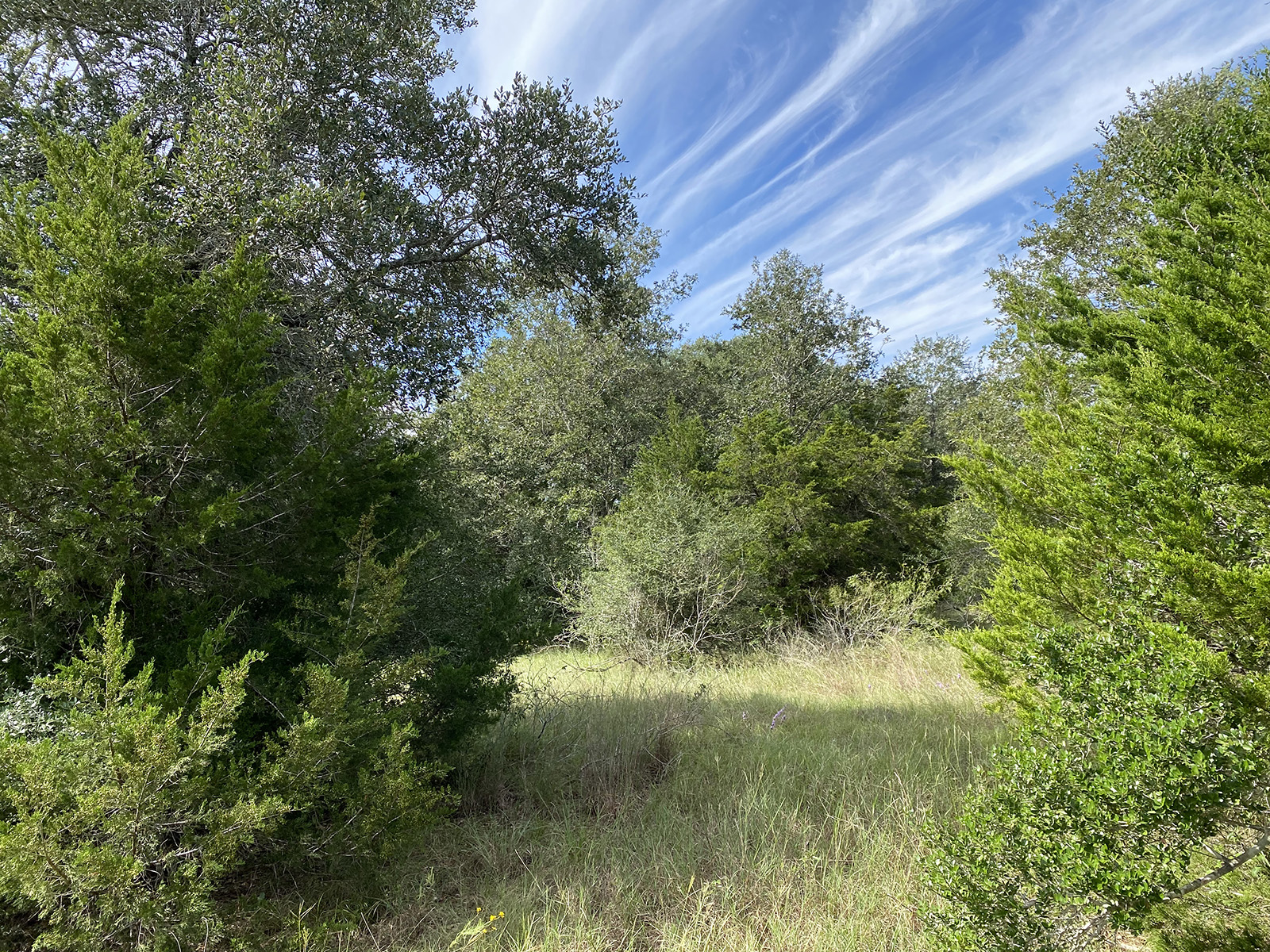
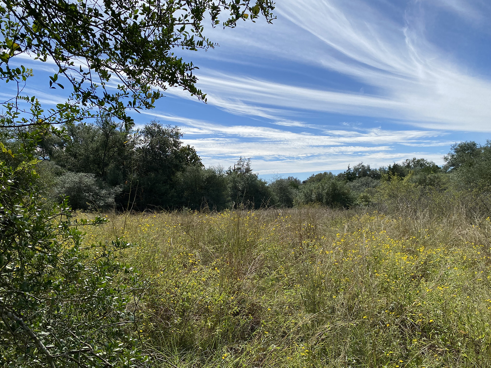
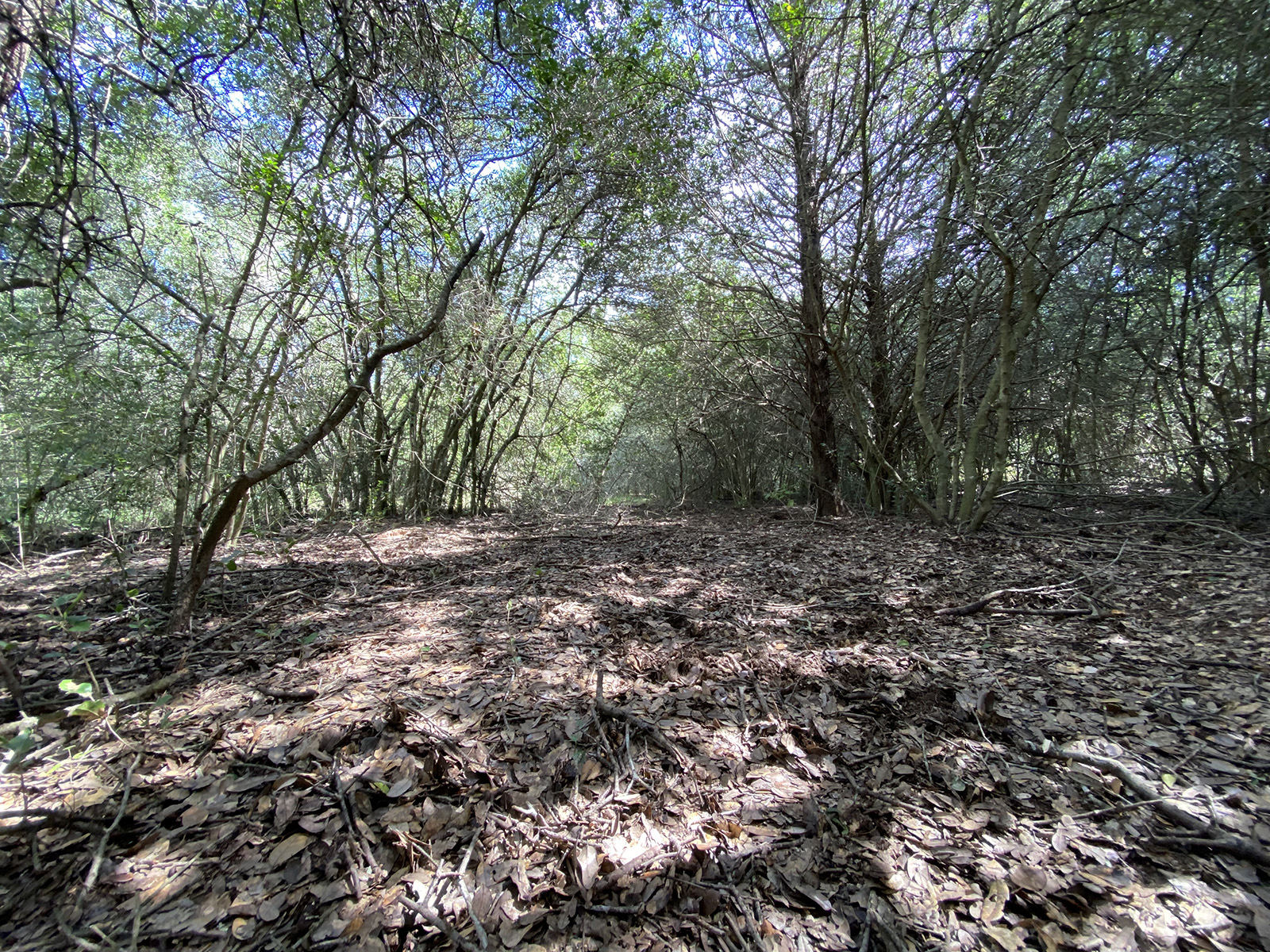
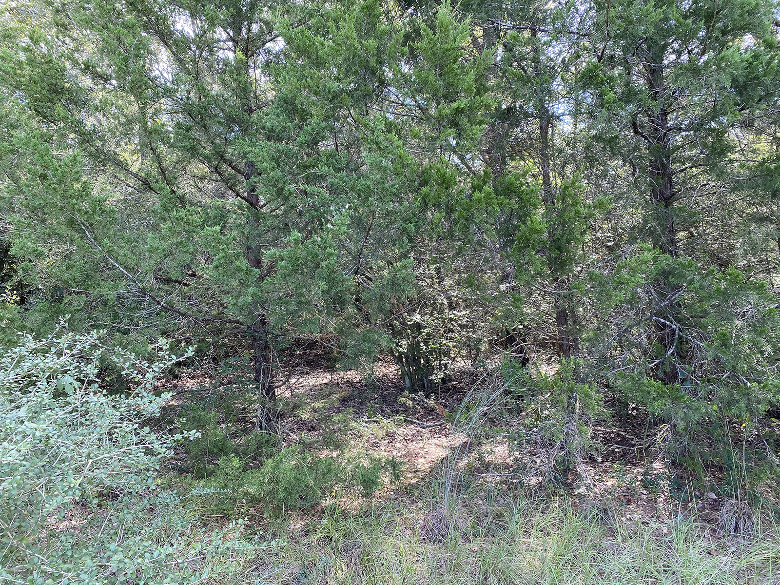
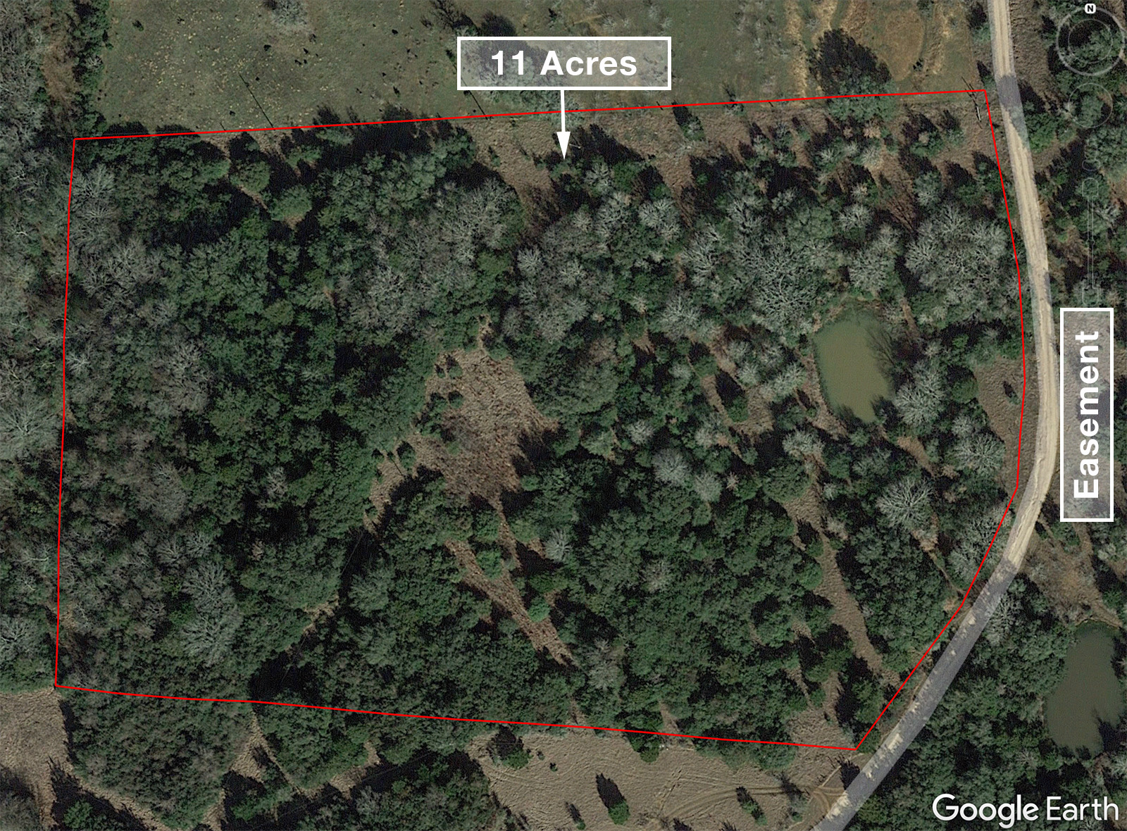
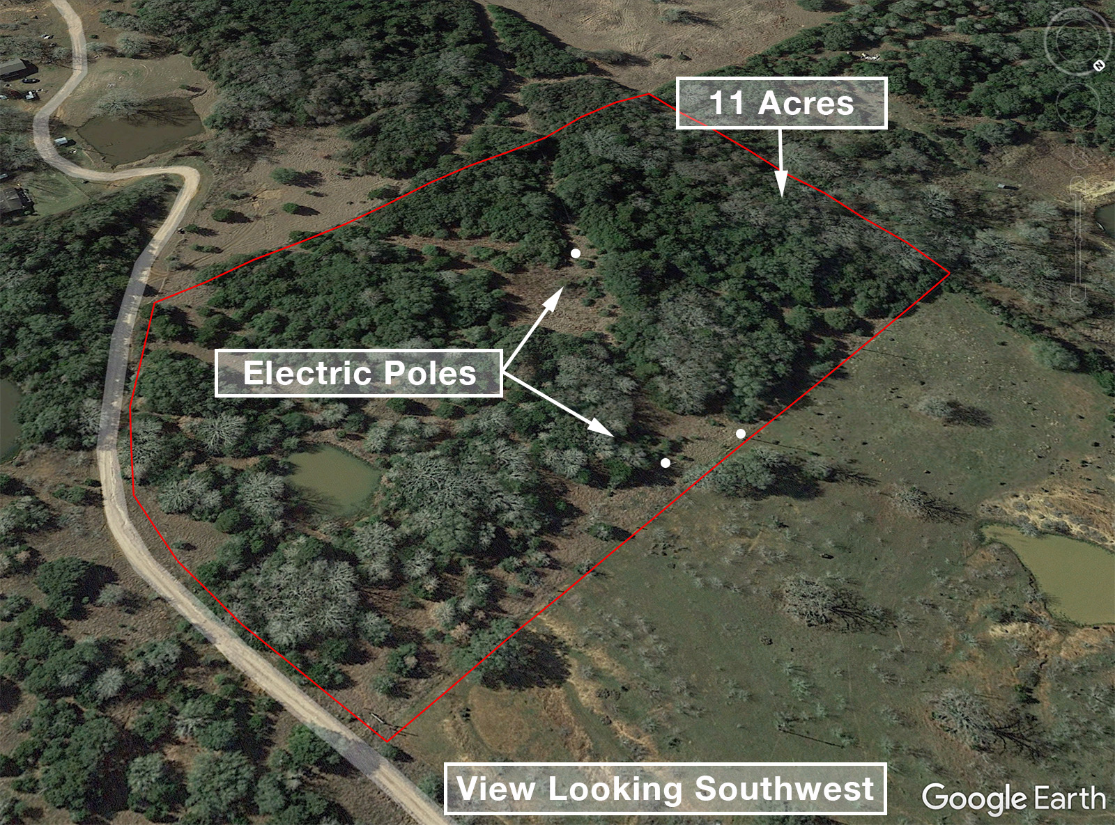
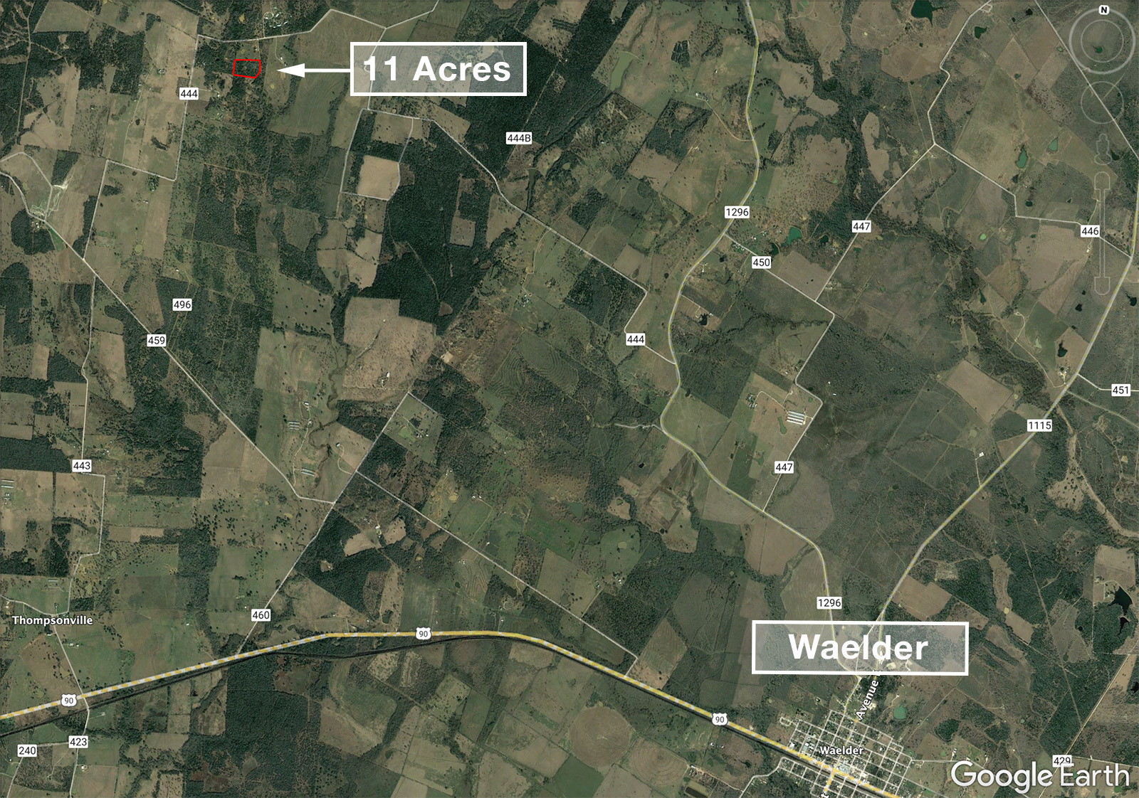
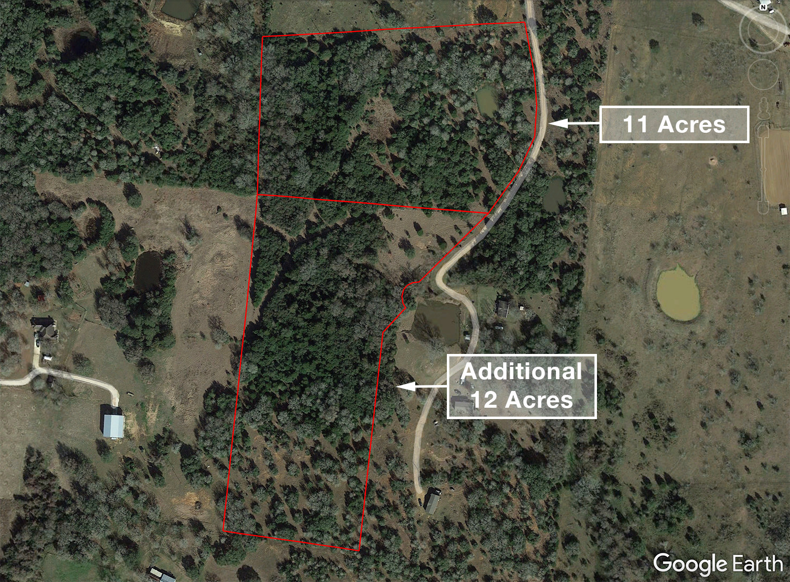
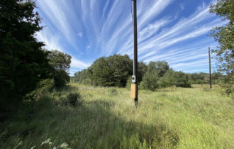
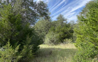
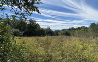
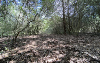
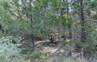
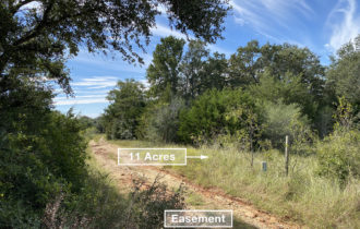
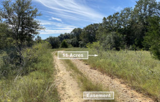
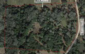
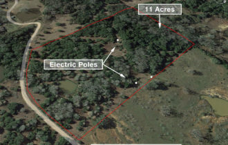
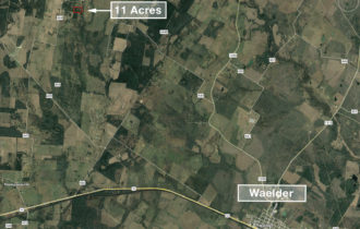
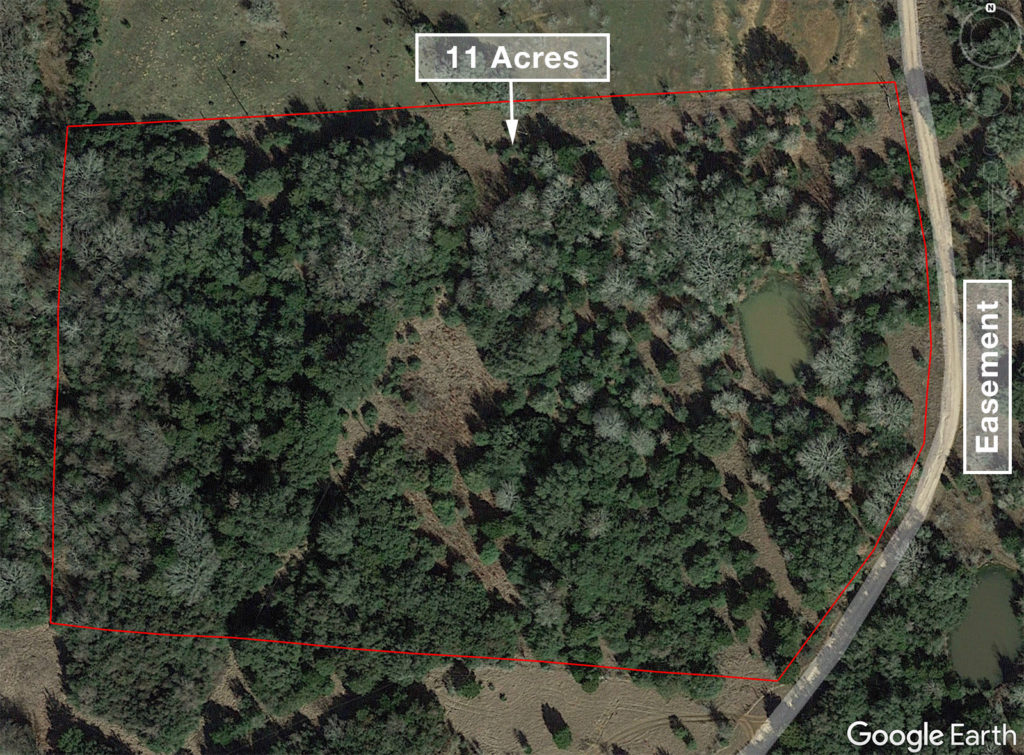
Beautiful 11-acre parcel of vacant land nestled north of Waelder among ranches and vineyards. This unrestricted, wooded property has many mature trees and a good-sized tank/pond. Electric poles on property. Mostly fenced (including a high fence in back) and currently Ag exempt. Great property for livestock. There are some natural clearings, or selectively clear your favorite spot for your tiny house, cabin, cottage, mobile home, manufactured home, site-built home, etc. Or, just use as a recreational property – pop a tent or park an RV and camp or hunt on your own land! Adjacent 12 acres is also for sale.
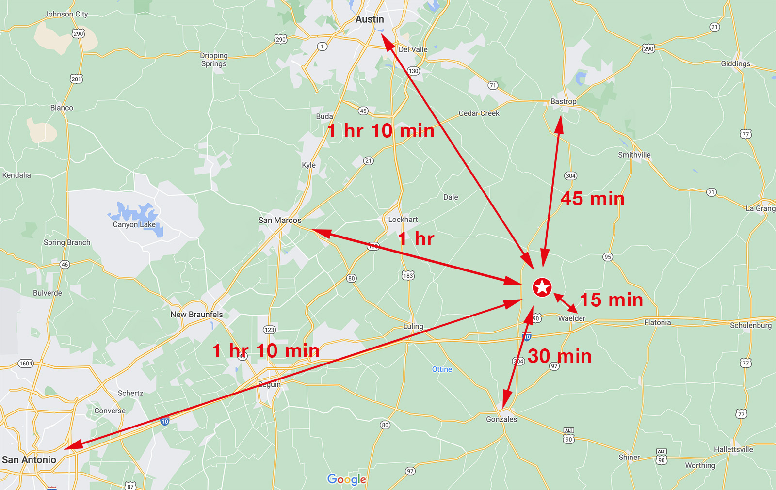
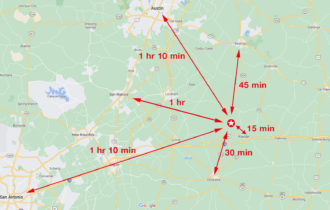
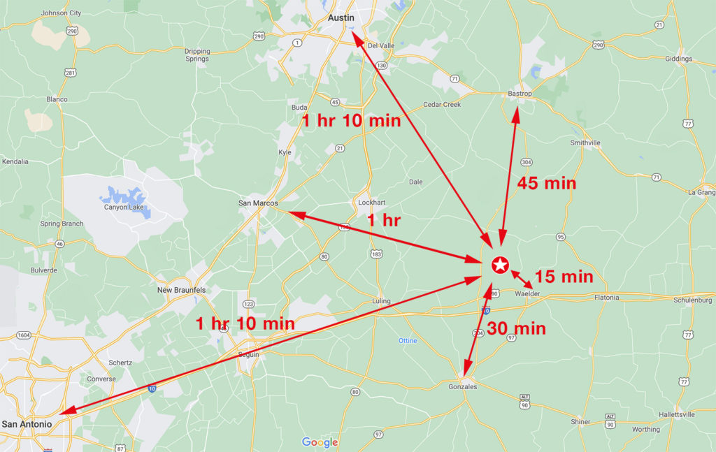
15 min to Waelder, 30 min to Gonzales and Luling, 45 min to Lockhart and Bastrop, 1 hr to San Marcos, 1 hr 10 min to San Antonio and Austin
- Electric: Poles on property. Service through GVEC.
- Water: Well needed.
- Sewer: Septic needed.
Property Information
Parcel Size
11 Acres
State
Texas
County
Gonzales
Nearest Cities
Waelder
Parcel #
9530
Address
CR 444
Legal Description
Tract 11 (11.00 acres) Bee Creek Subdivision
Zip Code
78959
Annual Taxes
$17.92
Parcel Map
Features
Acres
11
County
Gonzales
Access
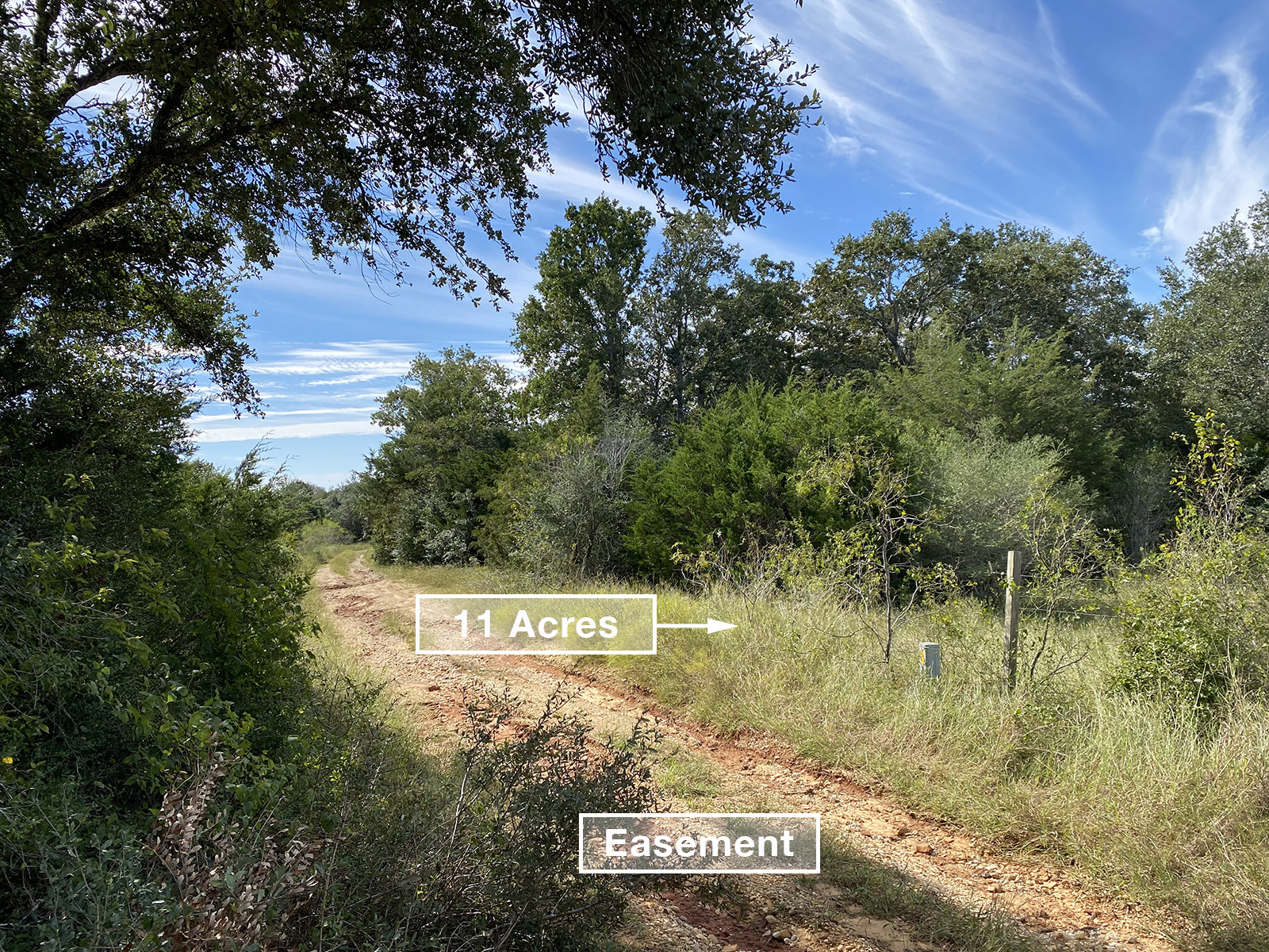
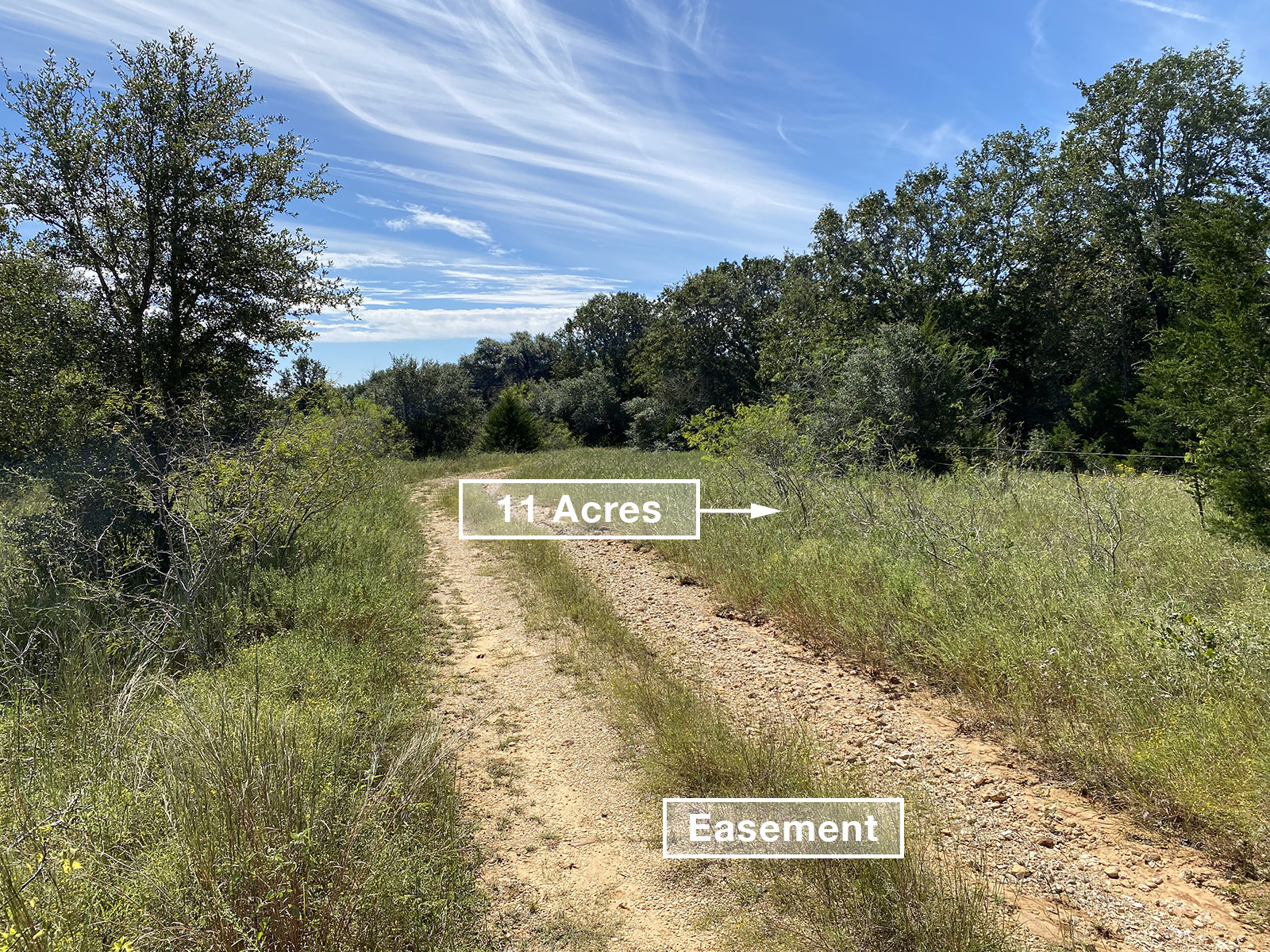
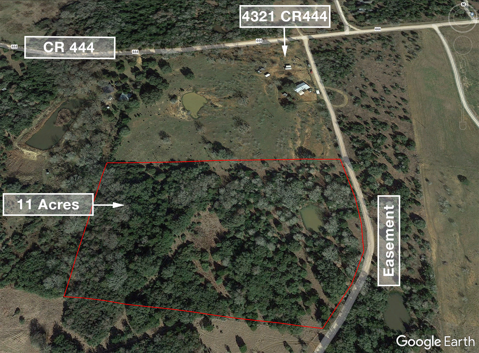
Gravel Easement
Power
Available
Water
Well needed
Coordinates
29.754800, -97.363831
Zoning
Residential
Location
Directions
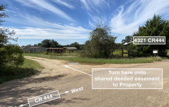
Closest address for mapping purposes is 4321 County Rd 444, Waelder, TX.
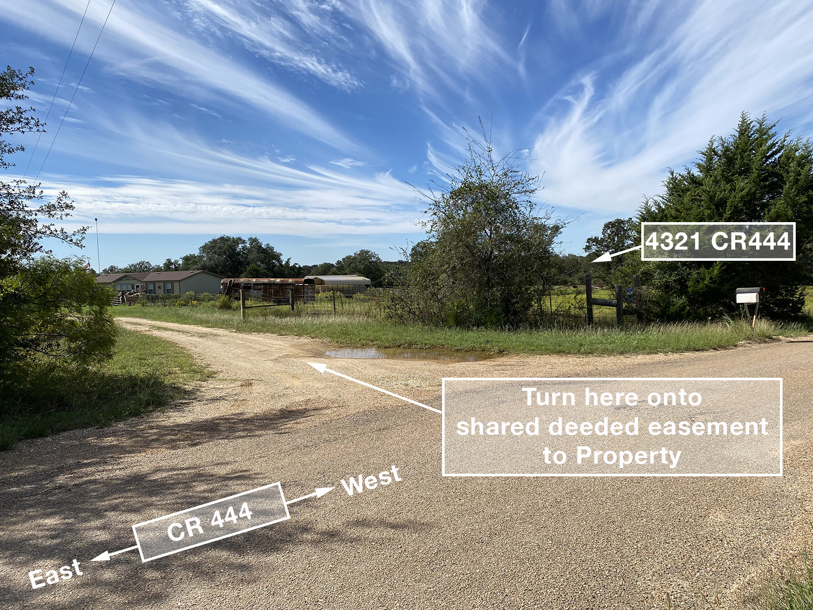
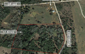
From Waelder: Head north on N Avenue D. Slight left to continue onto FM 1296 for 2.4 miles. Left onto CR 444 for 4.3 miles. Left onto shared, deeded easement road. Property is approximately 0.1 miles down on right. Look for FSBO sign.
Approximate GPS coordinates for boundary corners (lat, long):
NE: 29.754907, -97.363892
SE: 29.753270, -97.364239
SW: 29.753431, -97.366549
NW: 29.754800, -97.366497
Notes
- No appointment necessary for showings.
- Will work with buyer’s agents. Buyer or buyer’s agent to confirm utilities.
- Property lines on satellite images are approximate.

